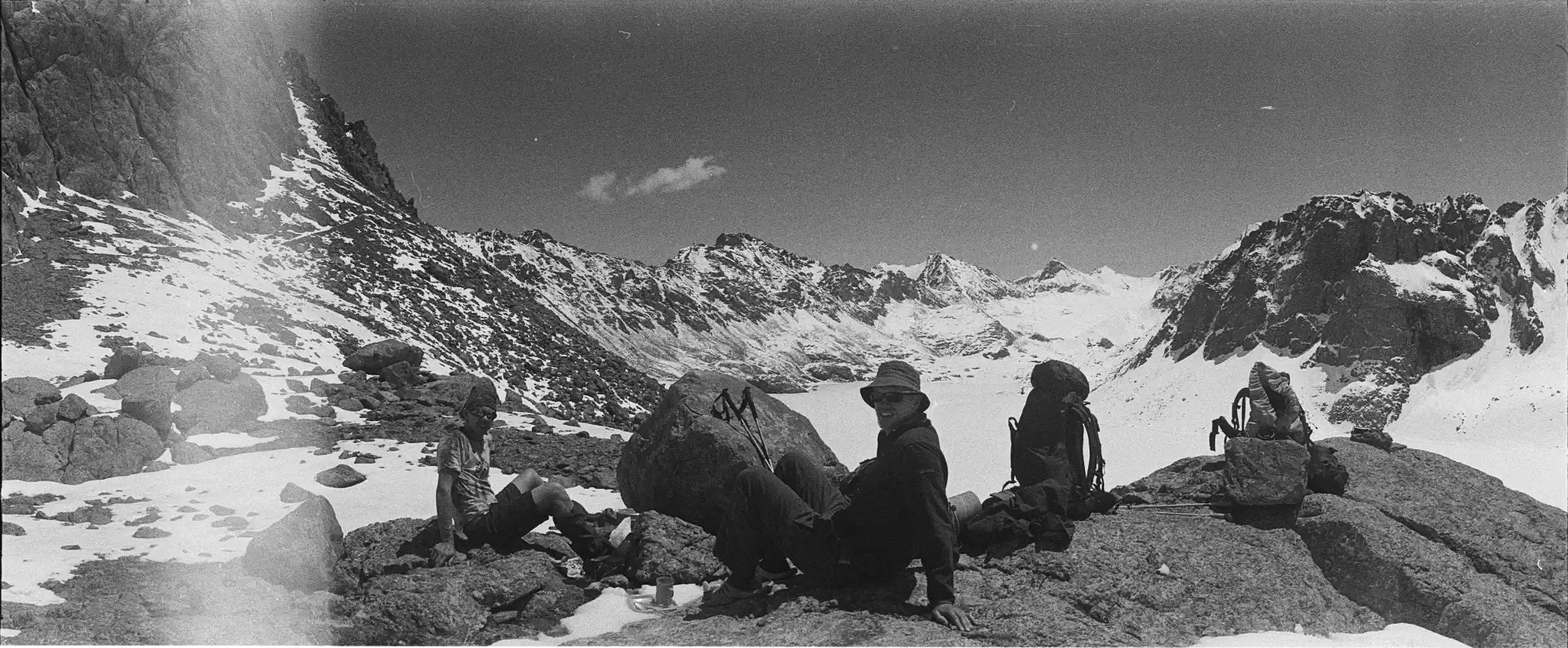
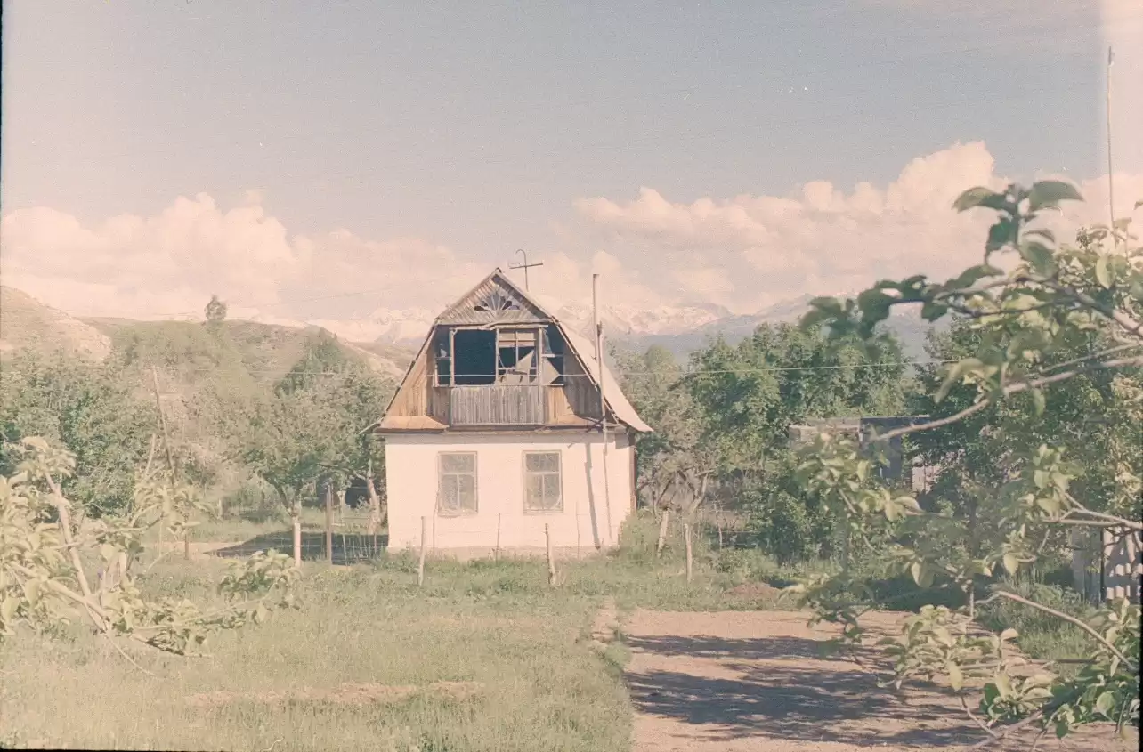
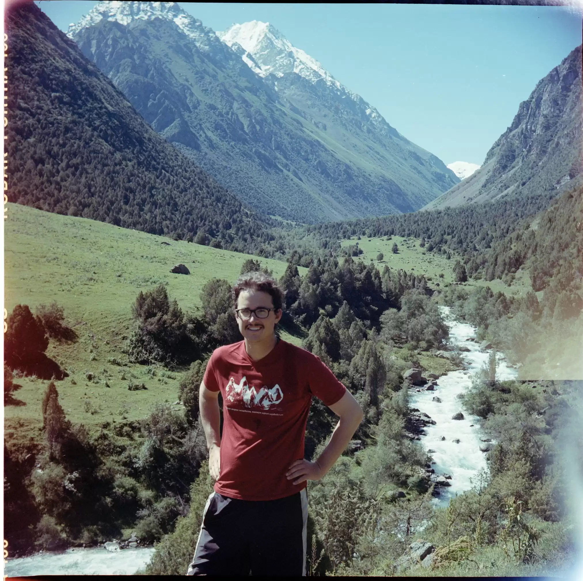
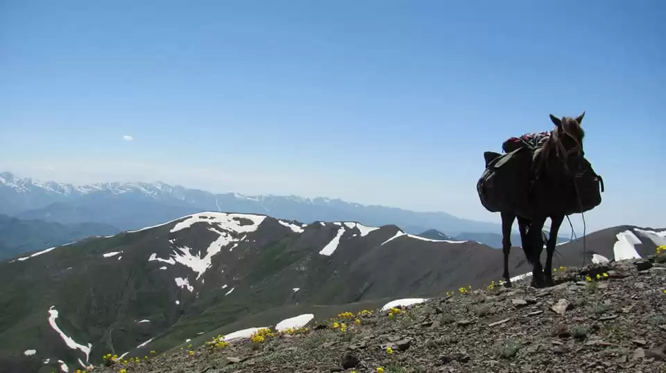
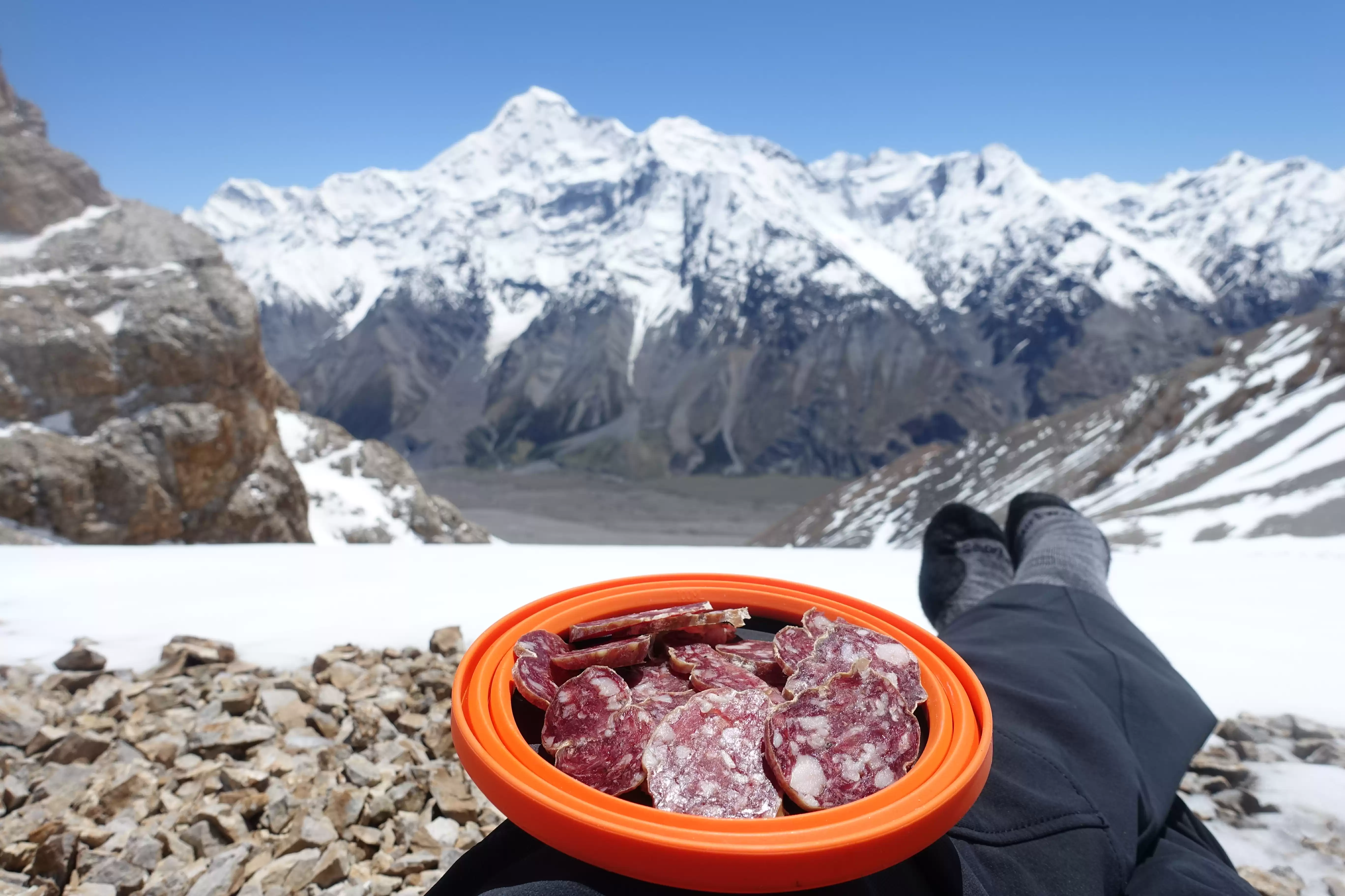
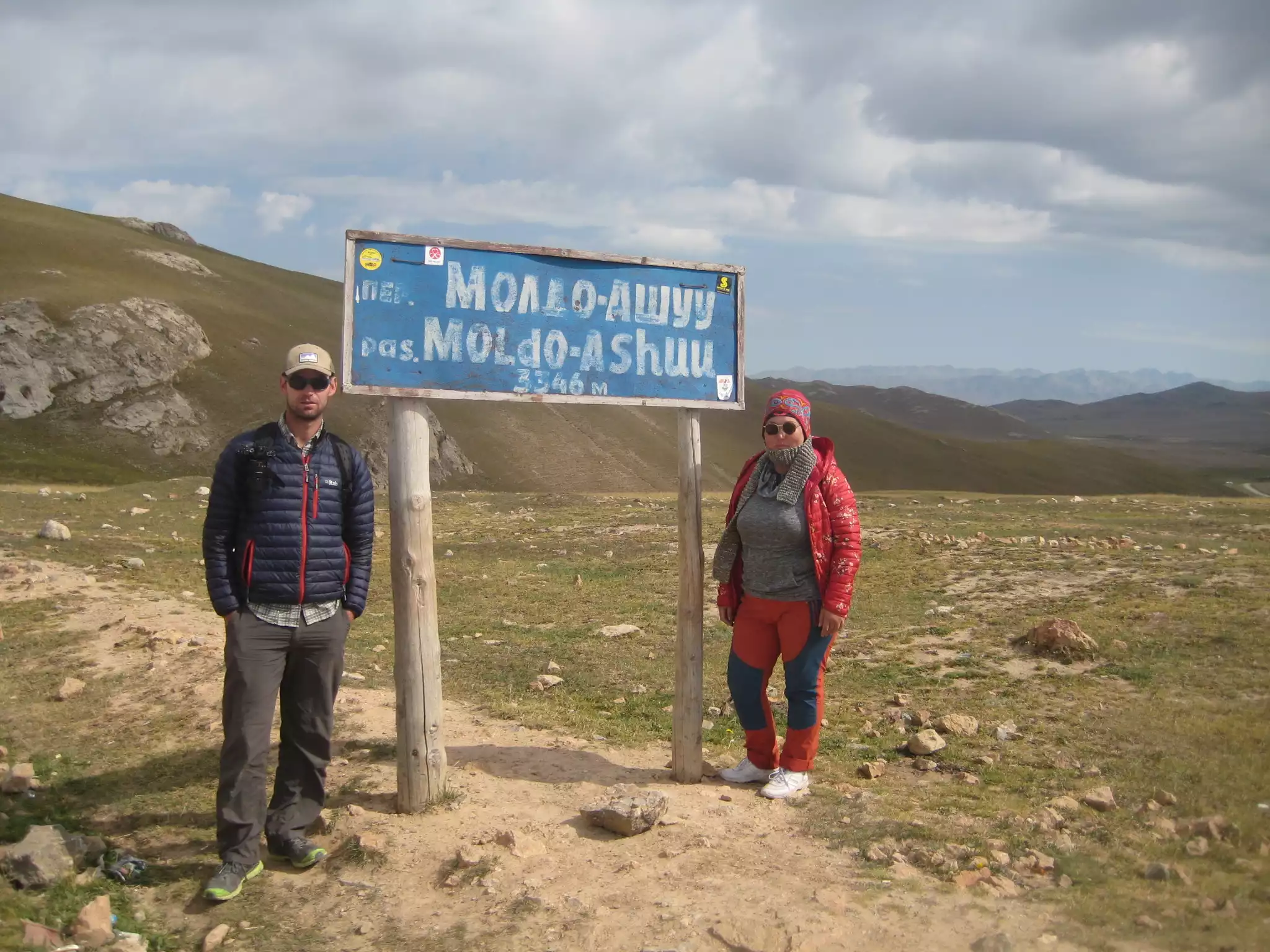
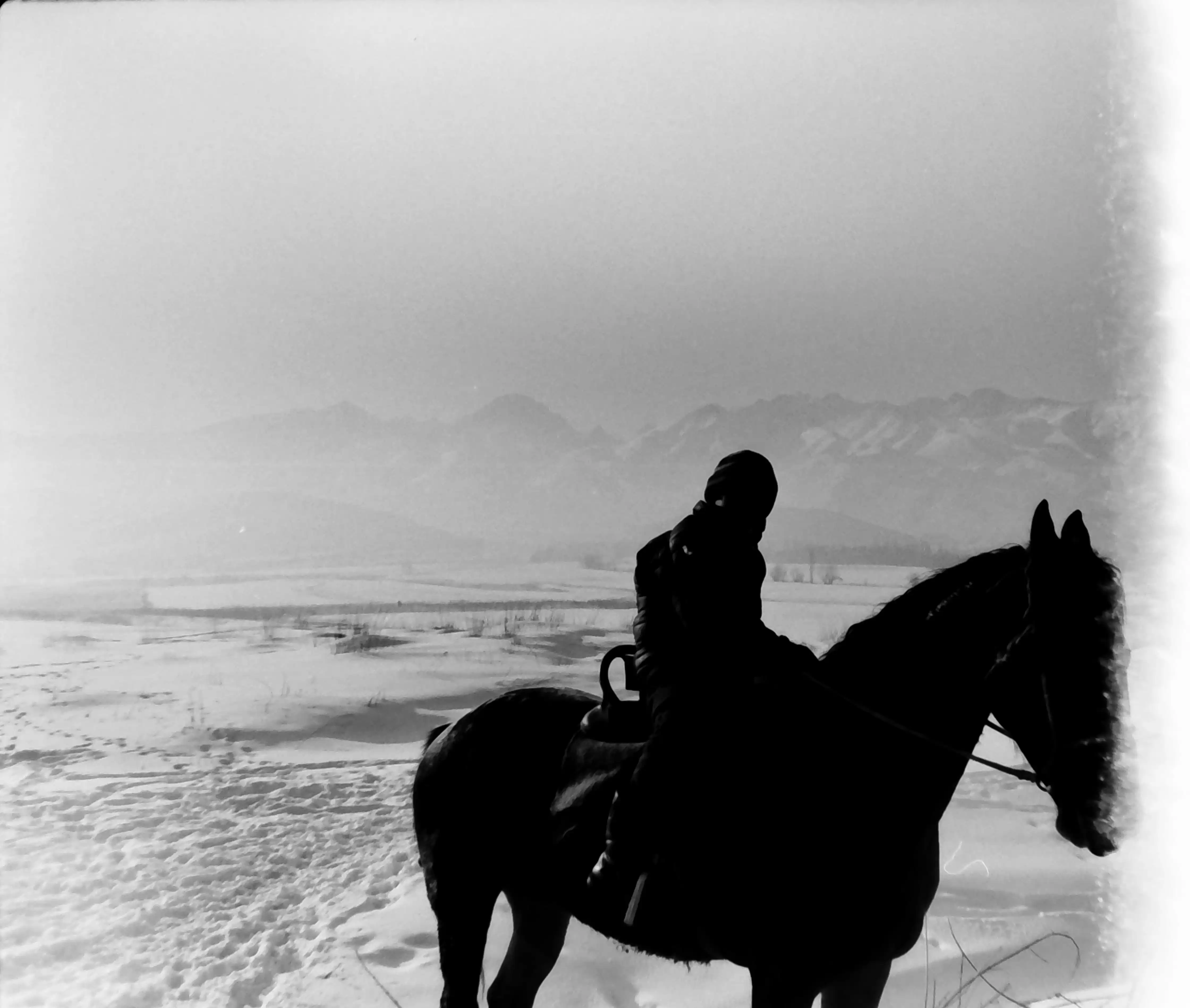
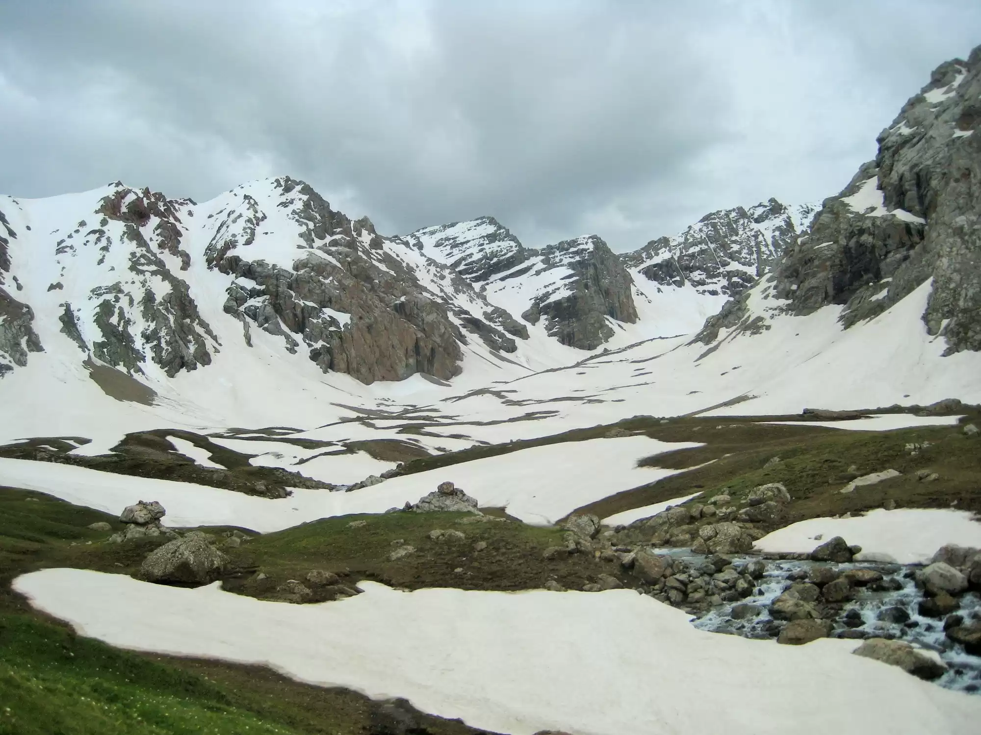
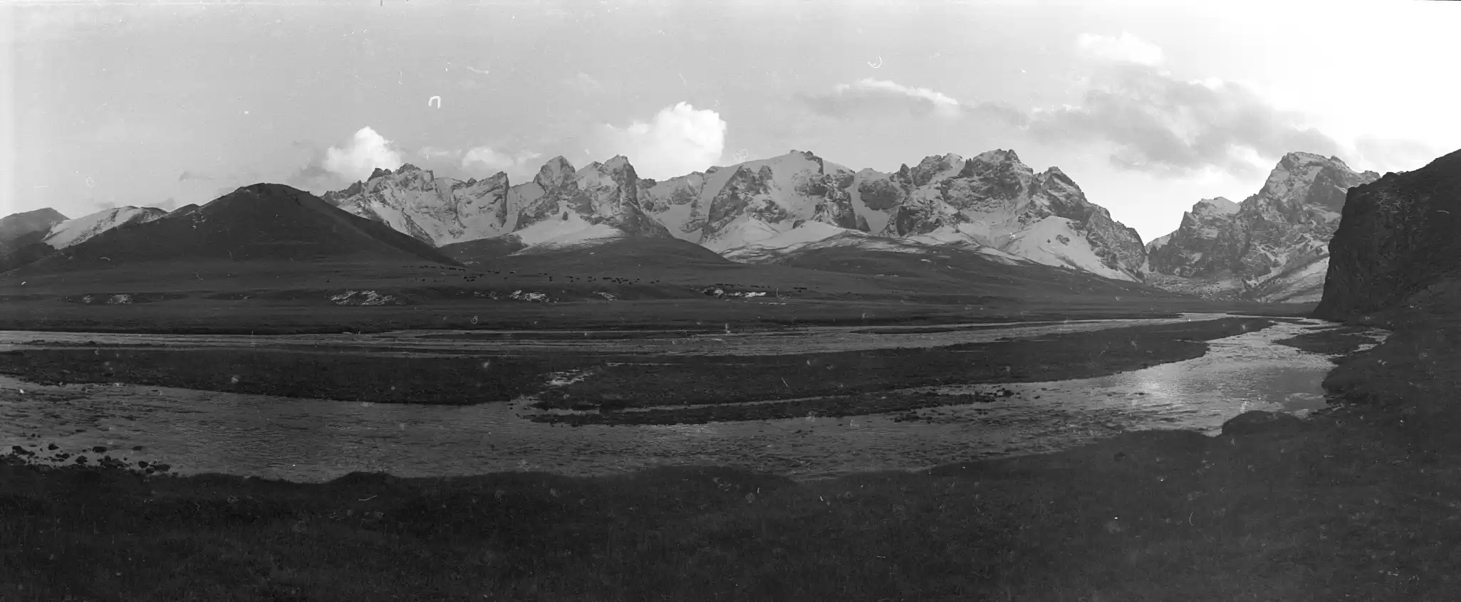
Ala Kul Hike


Distance: 54.23 kilometers
Start: 42º22.955'47.3”N, 78º27.648'37.5”E; elevation: 3,753.6 meters
End: 42º29.79'10.5”N,78º31.424'9.44” E; elevation 3,562 meters
Pass: 42º19.587'23.6”N, 78º32.706'26.9” E; elevation 3,850 meters
Total elevation gain (one way): 4,352 meters
Total elevation loss (one way): 4,706 meters
Difficulty: 4 (long and steep all the way up to the pass, with several boulder fields to cross). 
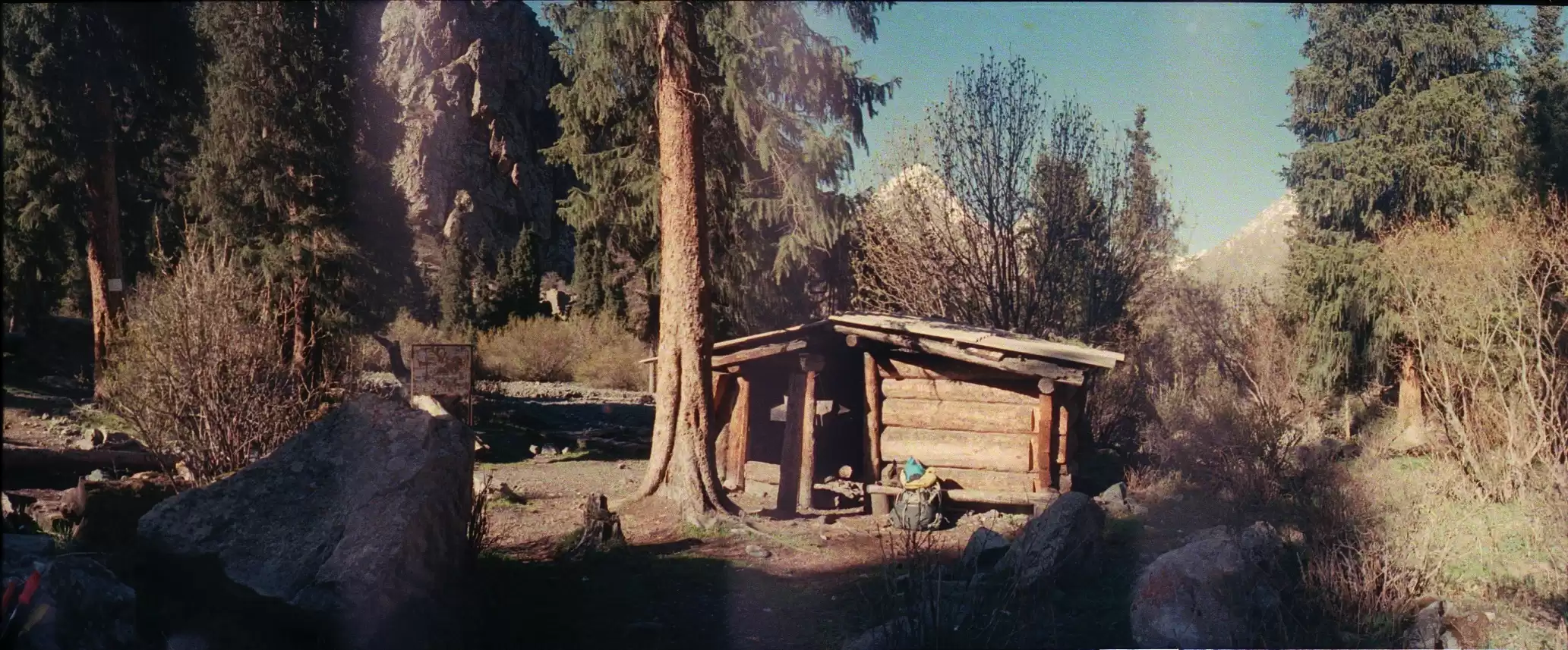
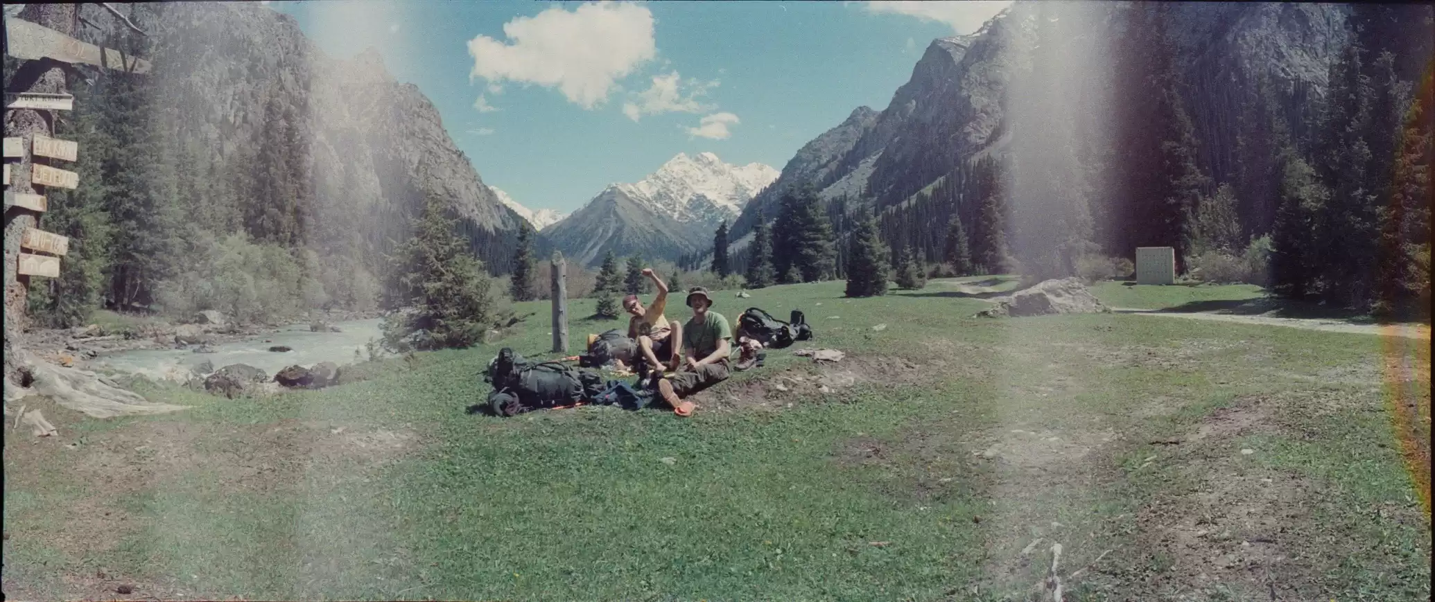
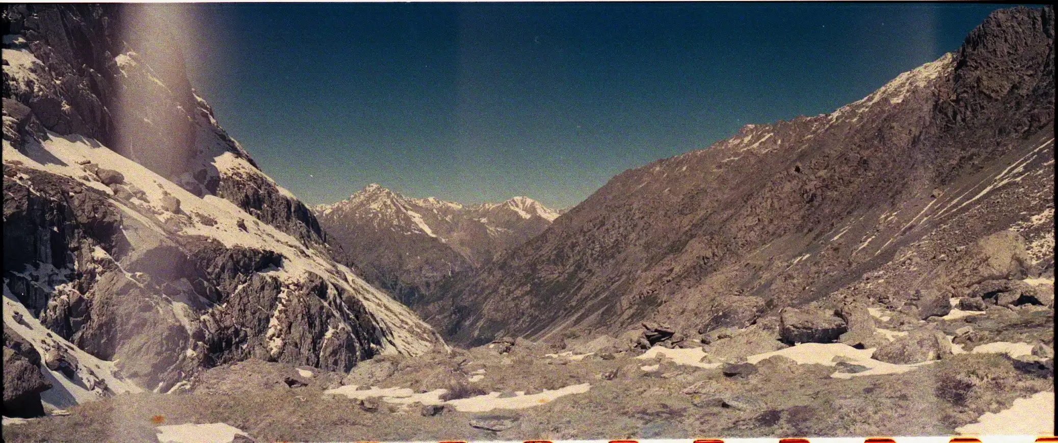
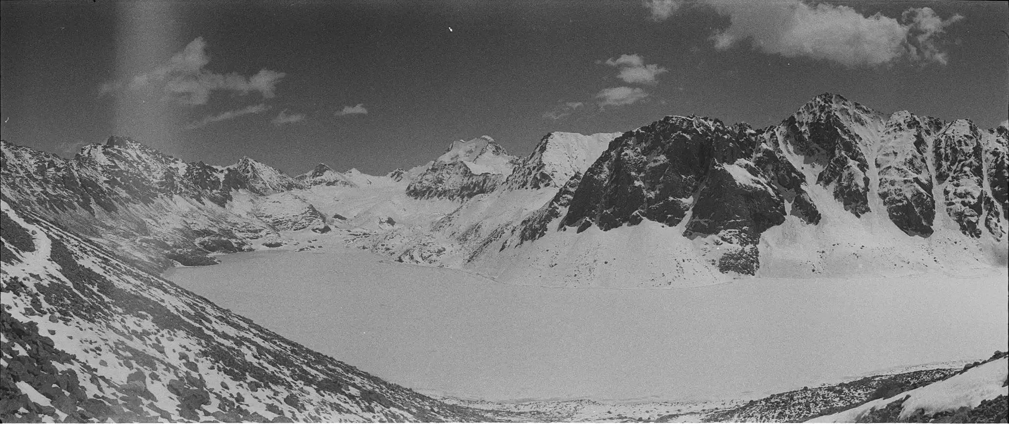
You can get a taxi from Karakol to the starting point of this trek the wood automobile bridge over the Karakol River. From there, it's about 15 km. to the wooden footbridge over the river that leads to the trail to Ala Kul. There is a campsite near the footbridge where most hikers spend the first night. From the footbridge, the trail goes almost straight up what looks like a dry stream bed. After a couple of steep climbs, you reach a boulder field. If you stay to the left (north), you will strike the trail again on the other side of the boulder field. Soon after you will come to a small hut and campsite that is about halfway from the footbridge to the lake. Continue up along the river, climbing, and climbing until you reach the lake. There are campsites both above the lake near the trail and below next to the lake. From the lake, the trail climbs along the lake to the pass. You will have views of the Takur Tor Glacier at the east end of the lake as you climb. The pass is at about 3,900 meters. The initial climb down from the pass is steep but then flattens out. Once you reach the Arashan River, stay on the left (west) bank until you reach Altyn Arashan, where there is a footbridge across the river and several guesthouses, some of which have camping spots. From Altyn Arashan, the path drops pretty consistently and flattens out as it reaches the village of Asku / Teploklyuchenka, where you can catch a taxi or marshrutka # 350 back to Karakol.

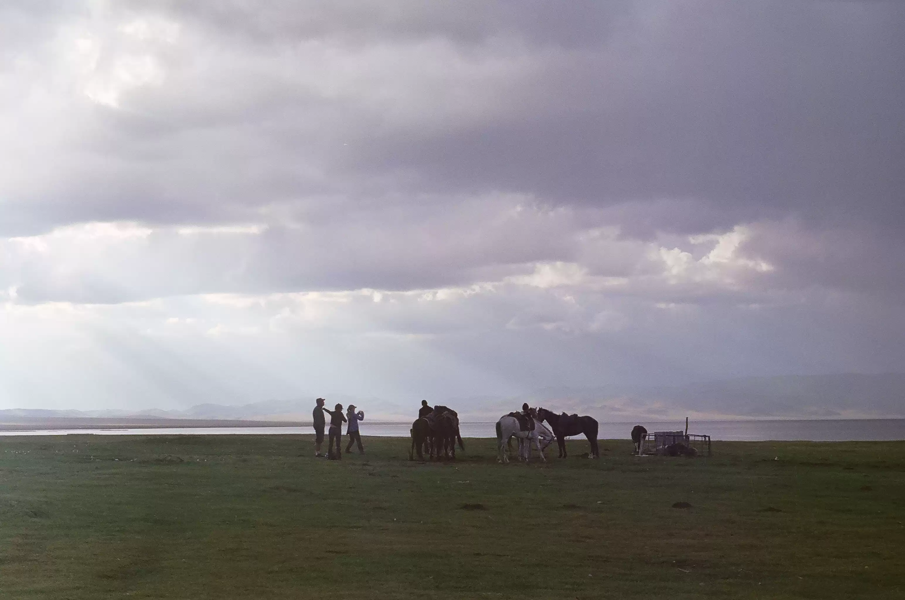
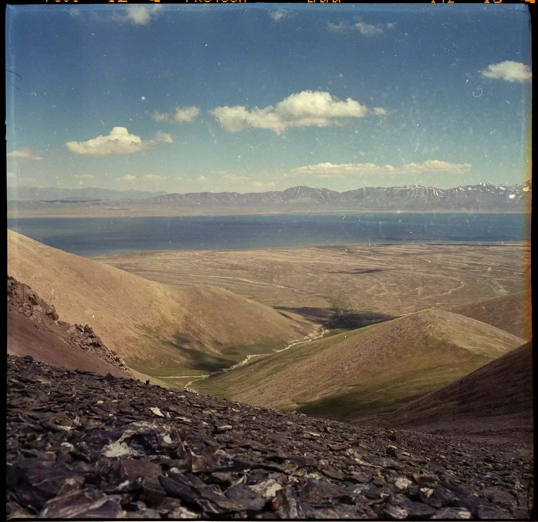
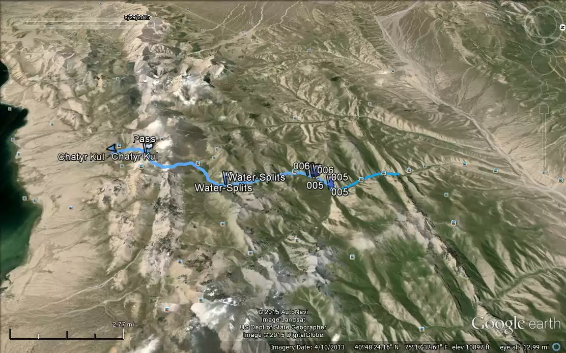
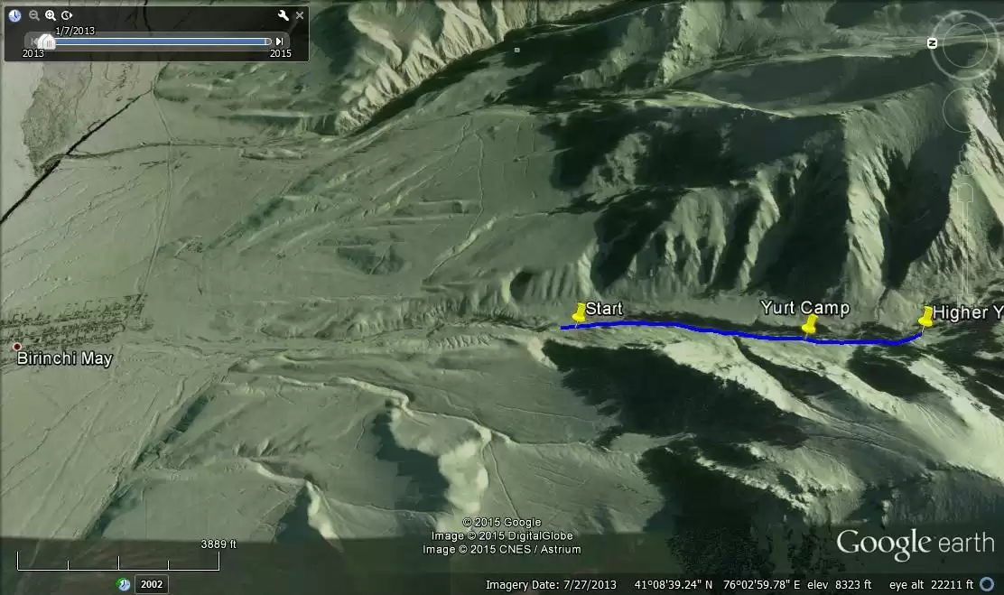
Tash Rabat to Chatyr Kul Hike
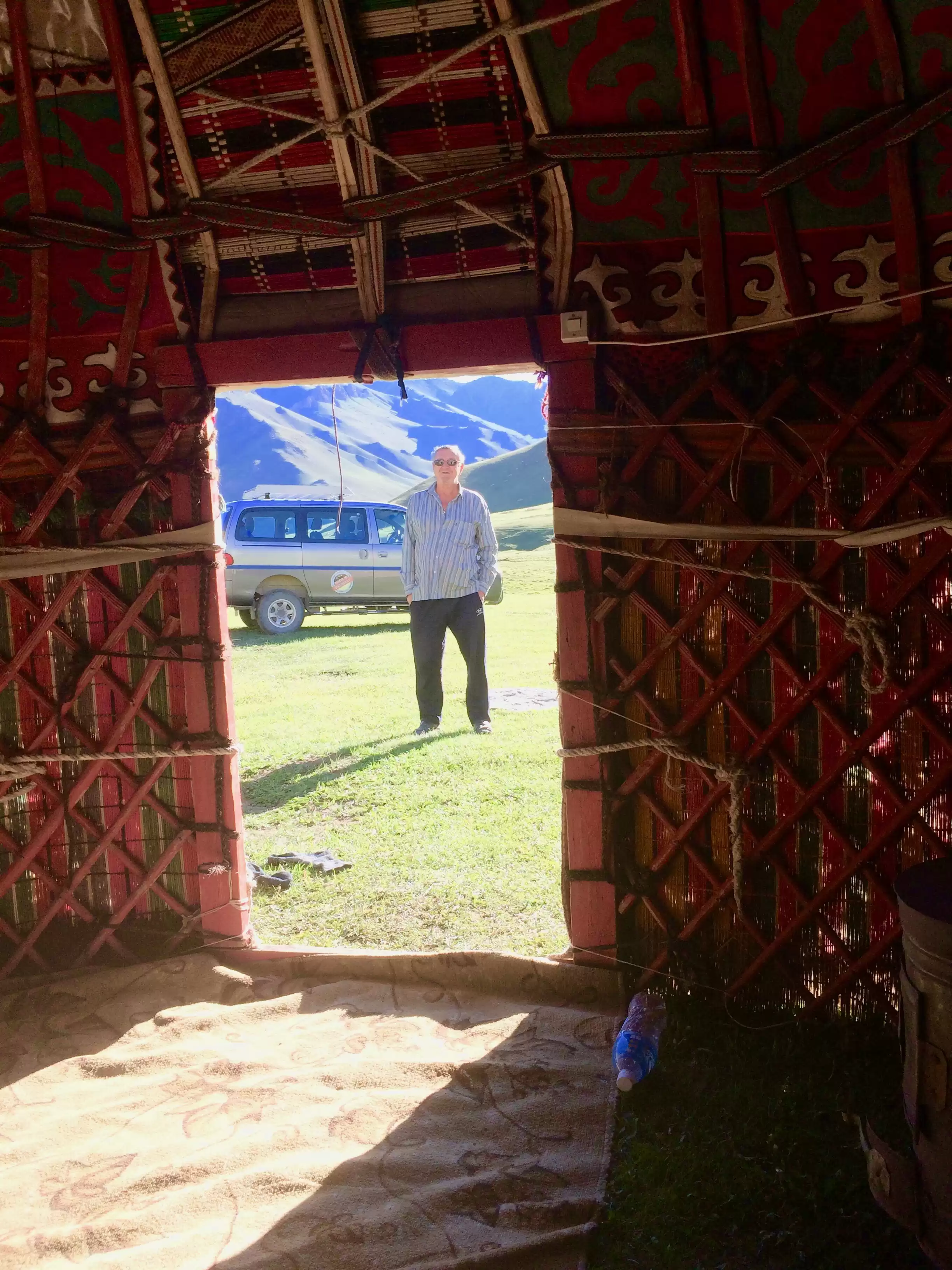
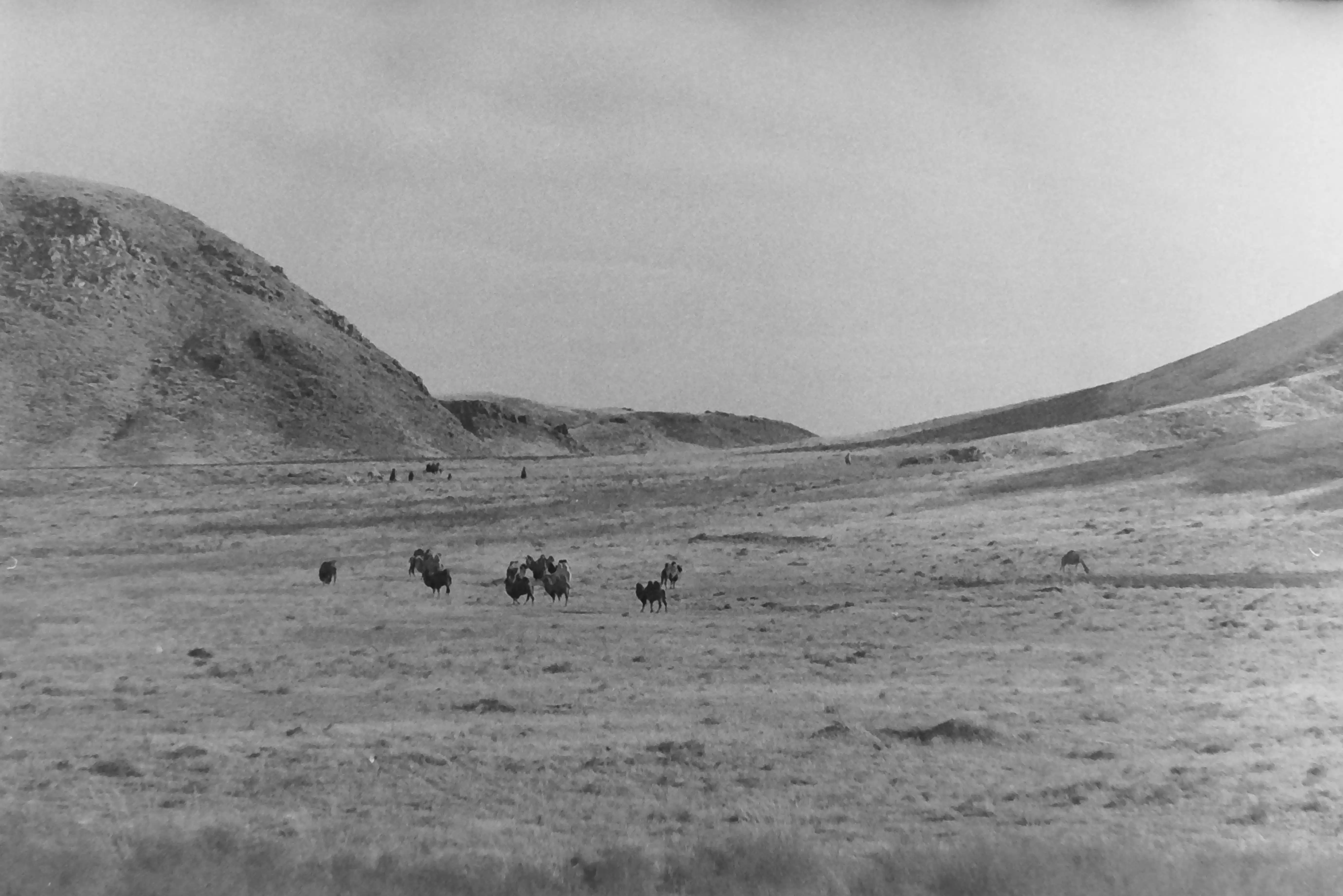
This is a great hike from Tash Rabat to Chatyr Kol. It's long, so if you are taking camping equipment, you would probably want to do this in two days. There is a yurt camp at the end of the hike near the Chatyr Kul lake, so you can do this with a day pack (the yurt is only open from ~July 1stto the 30thof August. There are yak herds along the trek, so you are likely to encounter them. They tend to be afraid of humans.
Distance (one way): 21.6 kilometers
Start: 40º51'47.3”N, 75º16'37.5”E; elevation: 2,978 meters
End: 40º43'10.5”N,75º17'9.44” E; elevation: 3,616 meters
Pass: 40º44'23.6”N, 75º17'26.9” E; elevation 3,996 meters
Total elevation gain (one way): 1,338 meters
Total elevation loss (one way): 703 meters
Difficulty: 4 (long, but not too steep, except at the pass.
The Shaar Waterfall is the highest in Central Asia. It's a three to four-hour trek, one way, by horse or on foot. The trek is a pleasant one, but it includes quite a bit of climbing, some of it steep, and several shallow river crossings. There are some camping spots at the falls and more along the way, so it would be easy to do as a two-day trek if you have camping equipment. It's possible to get camping equipment in Naryn City at a local tour company as well.
Distance: 29.5 kilometers (round trip)
Start: 41º09'40”N, 75º55'3.7”E; elevation: 2,207 meters
End: 41º03'51.9”N, 76º00'17.9”E; elevation 3,238 meters
Total elevation gain (one way): 1,345 meters
Total elevation loss (one way): 359 meters
Difficulty: 4 (long hike with some steep climbs)


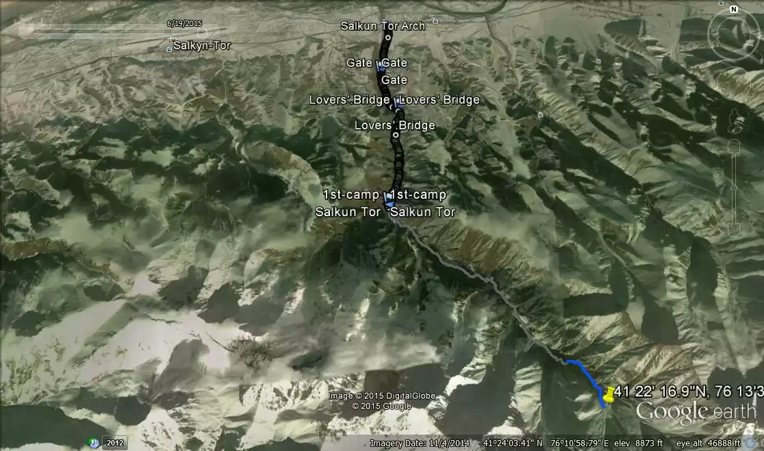
Salkyn Tor is a national park located about 12 km east of Naryn City. The entrance to the park is about 2 km. From the arch on the main road and there are toilets and picnic facilities near the entrance. A beautiful river runs the length of the park.
Distance (one way): 13 kilometers
Start: 41º26'34.5”N, 76º11'3.4”E; elevation: 2,167 meters
End: 41º22'17”N, 76º13'34.6”E; elevation: 3,221 meters
Total elevation gain (one way): 1,690 meters
Total elevation loss (one way): 660.5 meters
Difficulty: 4 (fairly challenging, but no technical climbing)
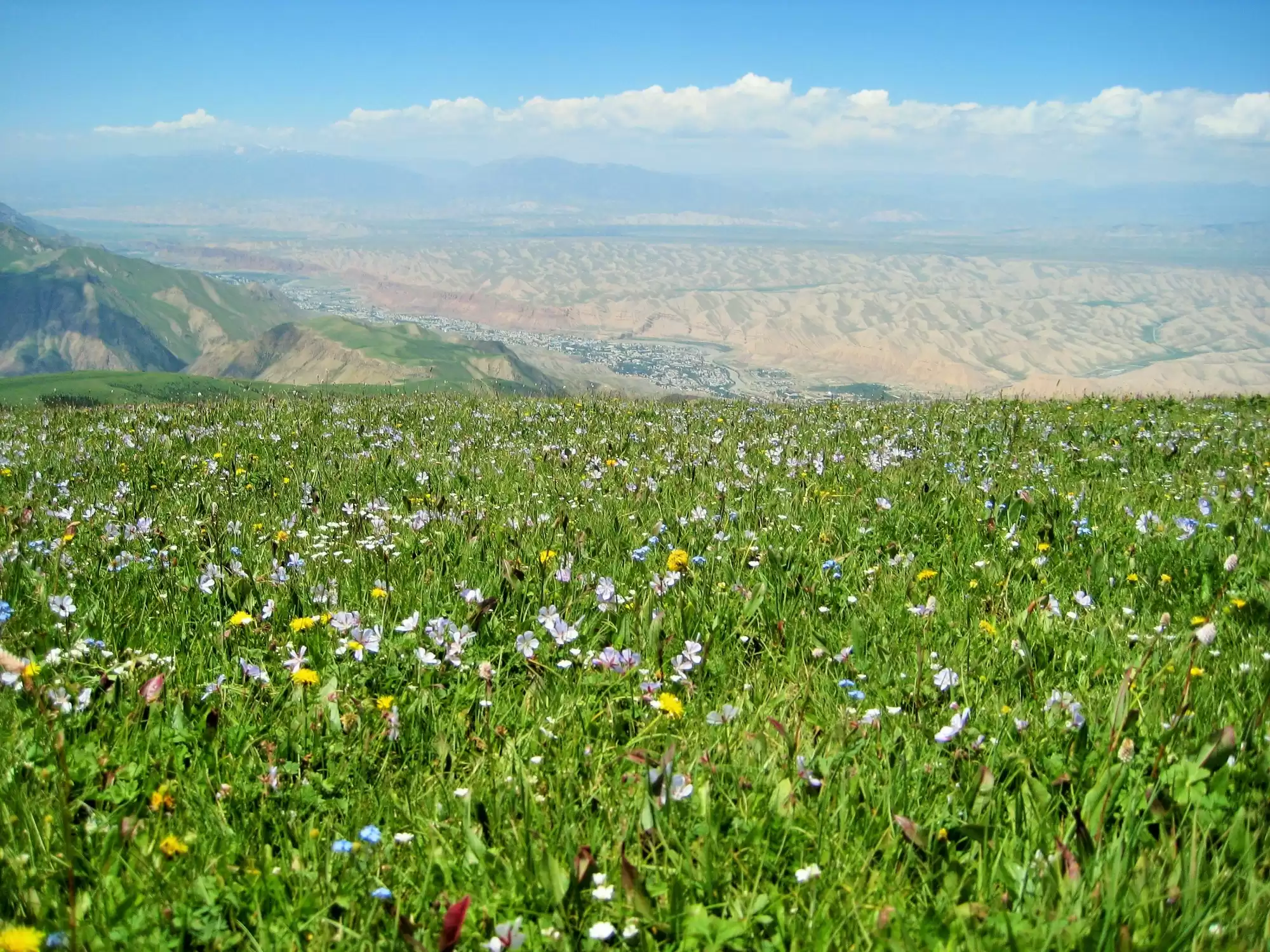
Bag a peak, right in Naryn! This hike takes you to the top of the highest of the triple peaks that loom over Naryn. It will take you 8-12 hours, but the views are spectacular. It's important to check the weather before you go because you will be very exposed to the weather.
Distance (one way): 7.31 kilometers
Start: 41º25'33.3”N, 75º57'2.3”E; elevation: 2,030 meters
End: 41º23'45.4”N, 75º56'7.7”E; elevation: 3,323 meters
Total elevation gain (one way): 1,596 meters
Total elevation loss (one way): 308.5 meters
Difficulty: 4.5 (long and steep for most of the hike)
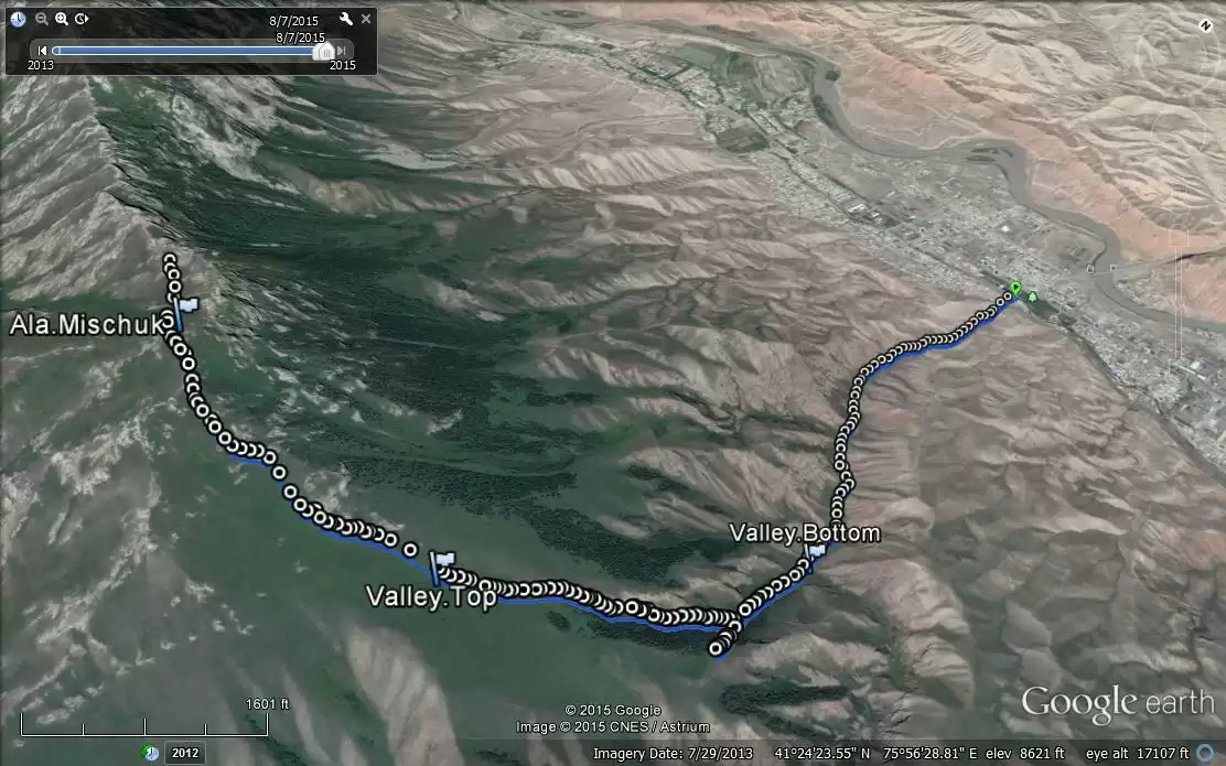
This hike starts just behind the large park across from the westerly automobile bridge that crosses the Naryn River. Go through the park to the canal behind the park, then look for the small, concrete bridge that crosses the canal. Across that bridge, you'll see some houses up on a ledge. Climb up to the houses and along the street in front of them, which leads to a large valley. Follow the valley past the first green valley opening on the right as you climb. When you come to the second green valley (at 41º26'04âN, 76º06'17âE), follow it up through the trees. It's a long, steep climb. When you get up out of that valley, you'll see the peak above you up a long, steep, grassy slope. Climb up an enjoy the views from the top of the Naryn area!
This hike starts at Akel's Yurt Camp, just over the second automobile bridge (north) of the village of Eki Naryn. There are many jeep and trekking paths in the area, and they all lead to beautiful pastures.
Distance (one way): 3.45 kilometers
Start: 41º35'11.66”N, 76º26'37.8”E; elevation: 2,356.4 meters
Top: 41º34'42.78”N, 76º25'39”E; elevation: 2,740 meters
Total elevation gain (one way): 116.13 meters
Total elevation loss (one way): 27.37 meters
Difficulty: 2 (easy hike, some modest climbing)
From Akel's Yurt Camp, start out on the jeep path into the mountains. You can continue to follow the jeep path, or head up one of the steeper but faster footpaths. Just above the tree line, you will reach a broad plateau. From there, there are many paths into the jailoos (pastures) and surrounding mountains. Itâs a great spot to spend the night or a great spot to get off the beaten path and meet real Kyrgyzstan.

This easy day hike goes directly into the mountains from the village of Birinchi Mai (May Day). It's a beautiful hike that passes many yurt camps, where local families stay for the summer while their animals are in the high pastures. If you're lucky, you may be invited into one of their yurts for a cup of tea or a glass of kumiss (horse milk). The route starts a few kilometers outside of Birinchi Mai, but it's certainly possible to hike directly from the village. The path continues much farther into the mountains too, so this could be made into a multi-day trek.
Distance (one way): 2.46 kilometers
Start: 41º8'22.1”N, 76º2'47.6”E; elevation: 2,499 meters
End: 41º7'8.8”N, 76º2'42.7”E; elevation 2,707.5 meters
Total elevation gain (one way): 208.5 meters
Total elevation loss (one way): .27 meters
Difficulty: 2 (easy hike, some modest climbing)
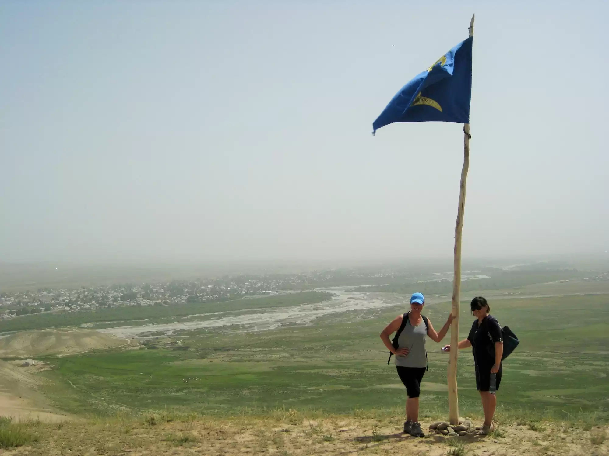
This pilgrimage trek is very close to At Bashy and leads to a good panorama of the entire At Bashy valley. Chetch Dubo is sacred to the Kyrgyz people, and many Kyrgyz people come to the sacred spring with petitions for healing or other gifts. Almambet, the best friend of Manas, the hero of the Kyrgyz national epic, is buried at Chetch Dubo. According to the legend, when Manas and Almambet went to war in China together, Almambet asked Manas to bring his body back to Kyrgyzstan if he should die in battle. Almambet did die, and Manas fulfilled his promise by bringing Almambet's body back to Chetch Dubo, where he was buried.
Distance (one way): 2.6 kilometers
Start: 41º7'46”N, 75º45'12”E; elevation: 2,077 meters
End: 41º8'58”N, 75º45'25”E; elevation: 2,165.6 meters
Total elevation gain (one way): 116.13 meters
Total elevation loss (one way): 27.37 meters

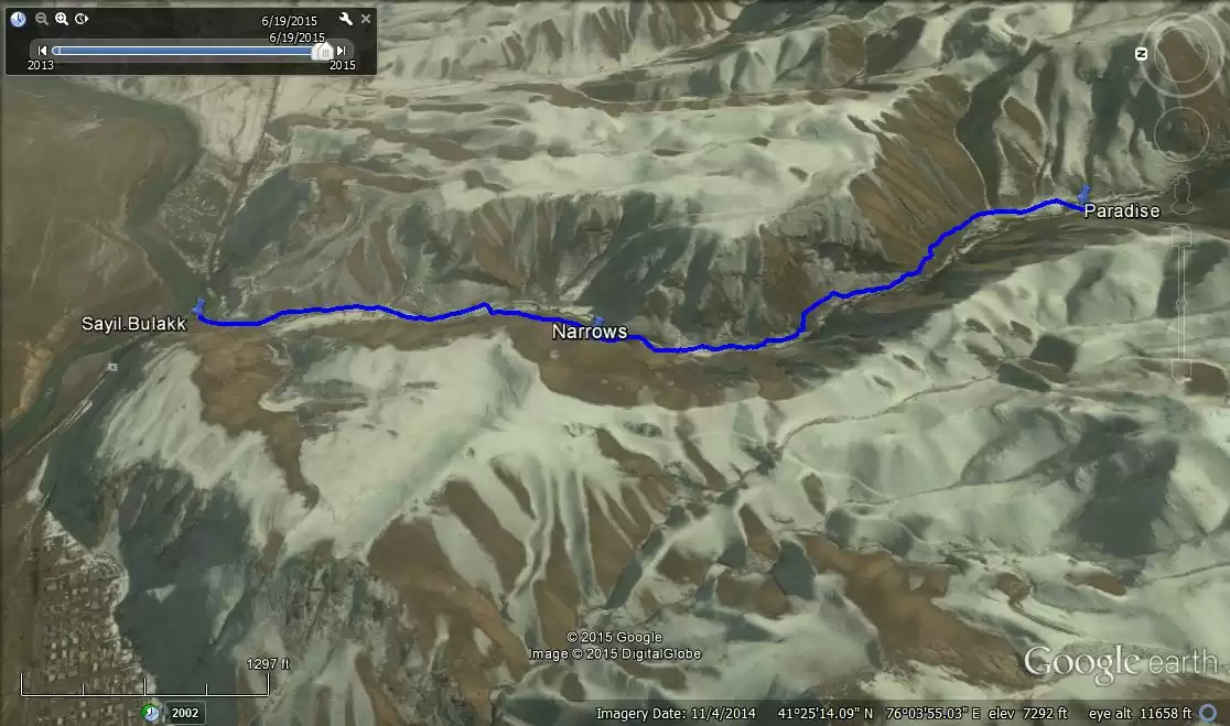
Seyil Bulak Hike
Seyil Bulak is a pretty hike along a small stream at the eastern edge of Naryn. The start is accessible by the No. 2 marshrutka or by taxi. There are several nice picnic spots along the valley.
Distance (one way): 2.41 kilometers
Start: 41º25'42.8”N, 76º4'5.8”E; elevation: 2,090 meters
End: 41º24'42”N, 76º04'47.6”E; elevation: 2,269 meters
Total elevation gain (one way): 220 meters
Total elevation loss (one way): 44.81 meters
Difficulty: 2 (easy hike, some modest climbing and must cross-stream)
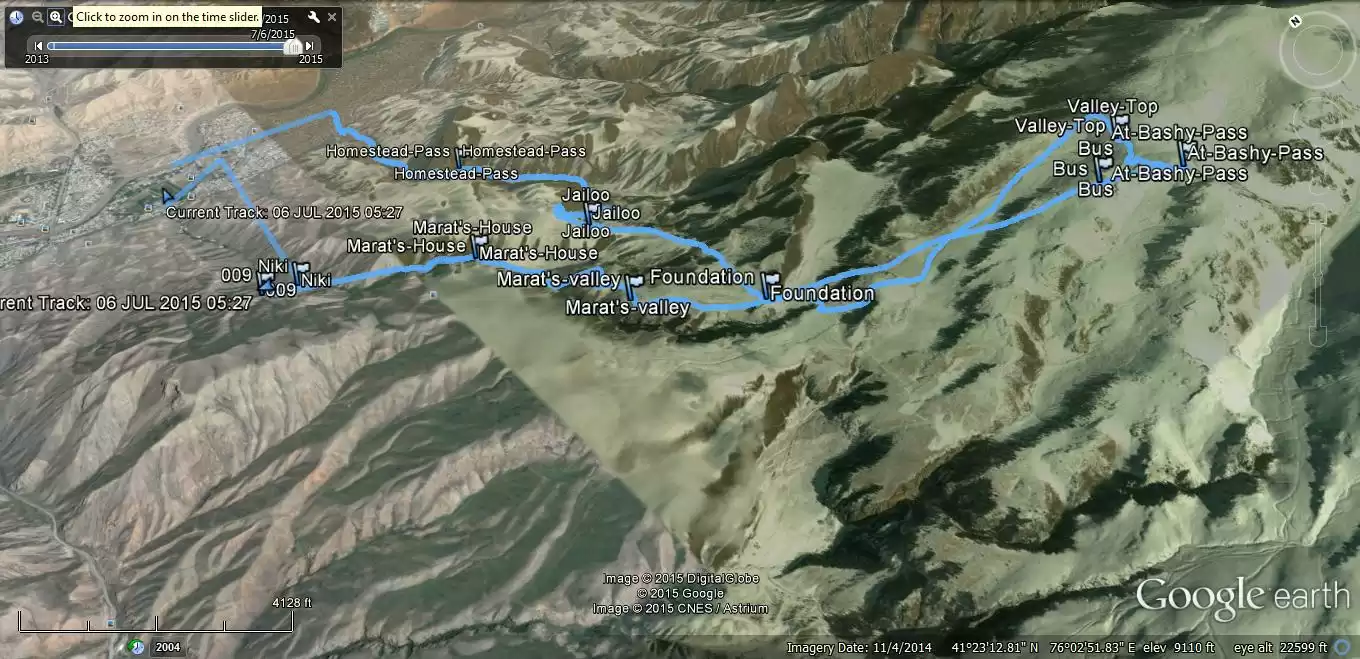
This is a challenging hike that gets you into the high pastures above Naryn, with views over the Naryn and At-Bashy Valleys, all the way to At-Bashy and surrounding villages. Most of the climbing is in the first 5 km. at each end, although there is plenty of climbing throughout. It is a long day trip but could be shortened by doing only one leg, or by taking the direct route from one leg to the other, rather than going higher into the mountains.
Distance (complete route): 20.6 kilometers
Start: 41º25'32.6”N, 76º02'46.8”E; elevation: 2,065 meters
Highest Point: 41º22'36”N, 76º04'43”E; elevation: 3,320.5 meters
End: 41º25'17.65”N, 76º01'45.6”E
Total elevation gain: 1,517 meters
Total elevation loss: 1,502 meters
Difficulty: 4 (fairly challenging, but no technical climbing)
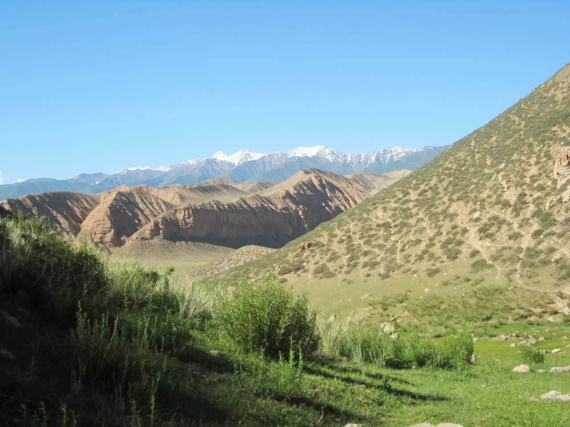
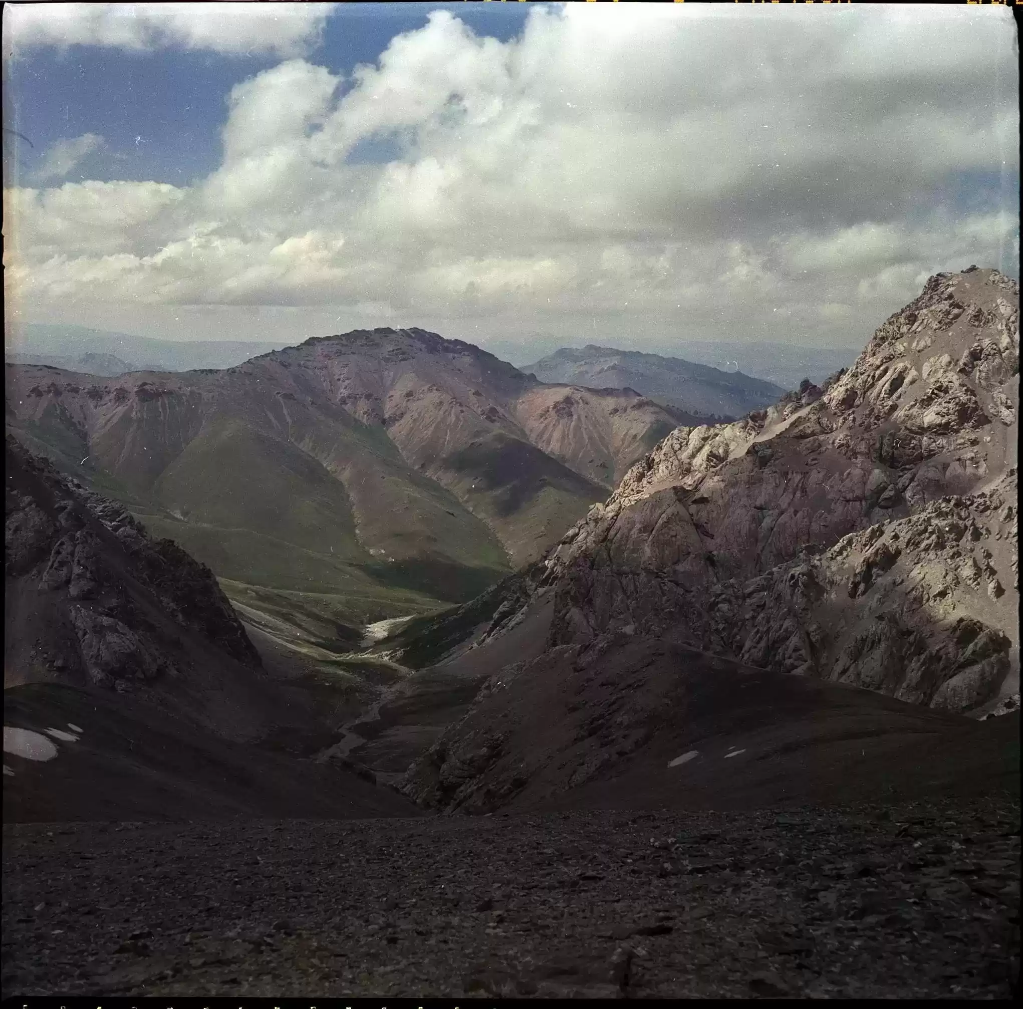
Kashka Suu is a beautiful, unspoiled region of Naryn Oblast, full of clear rivers, glaciers, canyons, caves, and pristine lakes. The Arpa River bisects Kashka Suu and the deep river valley is spectacular. The sandstone spires and hoodoos near the yurt camp are unlike any others in Kyrgyzstan. Ibex are plentiful and some lakes are full of trout. There are a few jeep tracks through the area, and trails tend to be well-maintained as they are used by hunters.
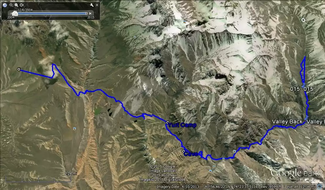
Distance (one way): 37.48 kilometers
Start: 41º0'30.6”N, 74º27'56”E; elevation: 2,809 meters
End: 40º51'55.24”N,74º21'50.03” E; elevation 2,927 meters
Total elevation gain (one way): 2,831 meters
Total elevation loss (one way): 2,478 meters
Difficulty: 3 (some steep climbs, but nothing too steep the climb into and out of the Arpa River valley is steep but short).
Cave: 40º57'7.84”N, 74º21'2.99”E
Yurt Camp: ~40º57'7.12”N, 74º22'27.48”E
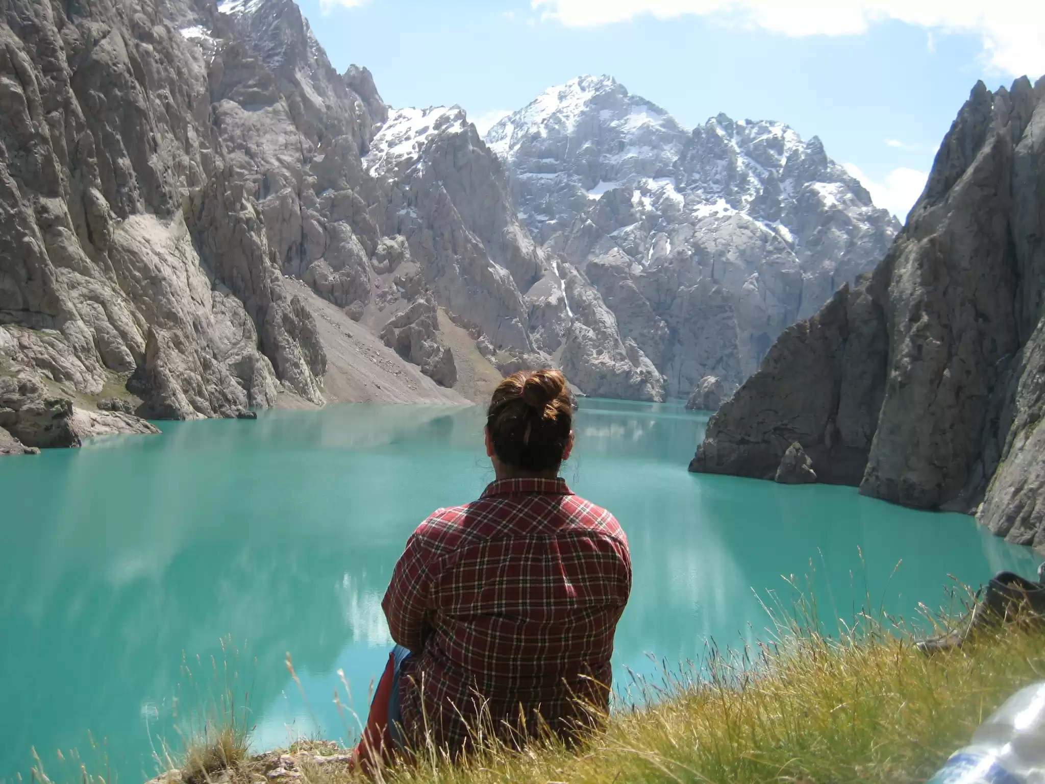
Kol Suu is a spectacular glacial lake set in a rocky canyon whose sheer sides drop almost straight down into the lake. It's difficult to get to but is one of the most beautiful spots in all of Kyrgyzstan. It is located in the southeast of Naryn Oblast, near the Chinese border. Plan ahead because it's not easy to reach and it takes 1 day to get to Kol Suu from Naryn in a local style taxi.
GPS Coordinates: 40º42'28.2”N, 76º23'26.7”E
Elevation: 3,524 meters
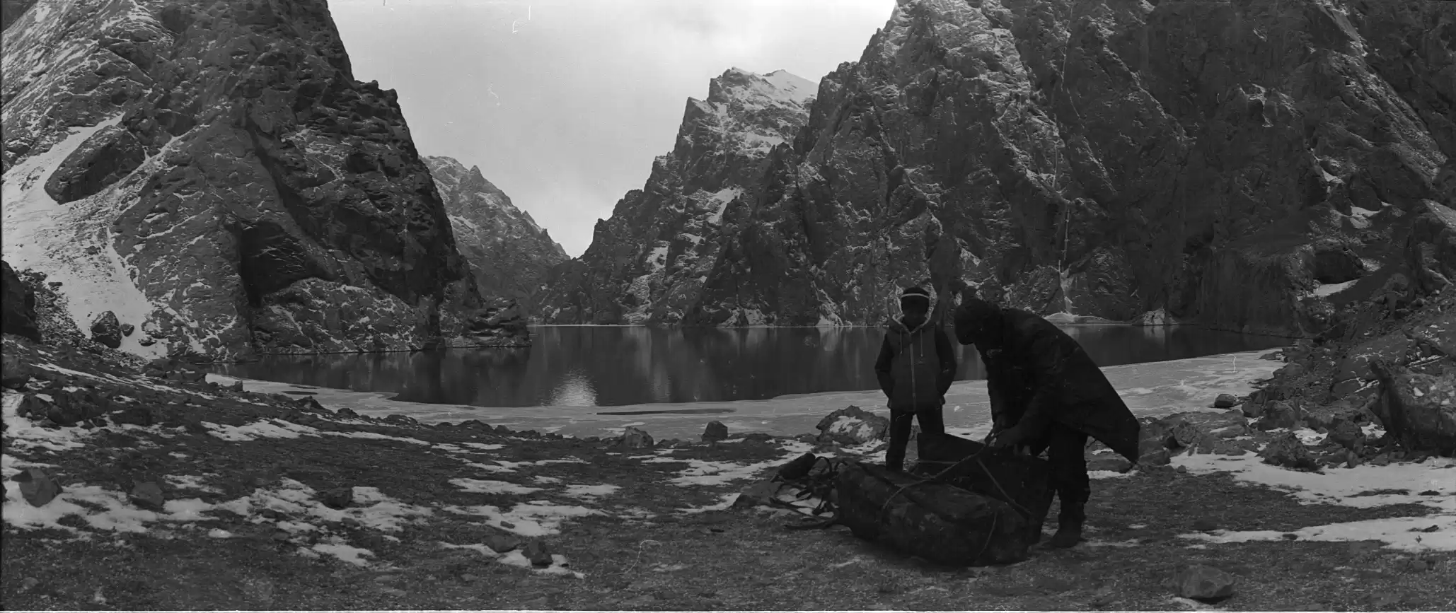
The lake lies behind a natural dam and is about 17 km. long. There are several springs at the base of the dam that are the source of the river that runs through the valley leading up to the lake. Because the walls of the canyon that holds the lake are so shear--at least at the northern end--it's not possible to explore very much of the lake on foot. And because there is a narrow bend in the lake at the north end, visitors see only about 20% of the lake from that end.
There are two roads to Kol Suu: one running east and south from At Bashy, which takes about ~five hours, and the other running past Tash Rabat and around the south side of Chatyr Kul before turning east toward Kol Suu, which takes about ~nine. The road is very rough and there are several river crossings, where there is no bridge and where the water level is above the floorboards on even a four-wheel-drive vehicle.
Because the lake is near the Chinese border, anyone going there needs a special permit. There are manned military checkpoints with gates on the two roads into Kol Suu, so you can't go without a permit. The officials at the checkpoints also check for passports, so if you go, take your passport with the permit.

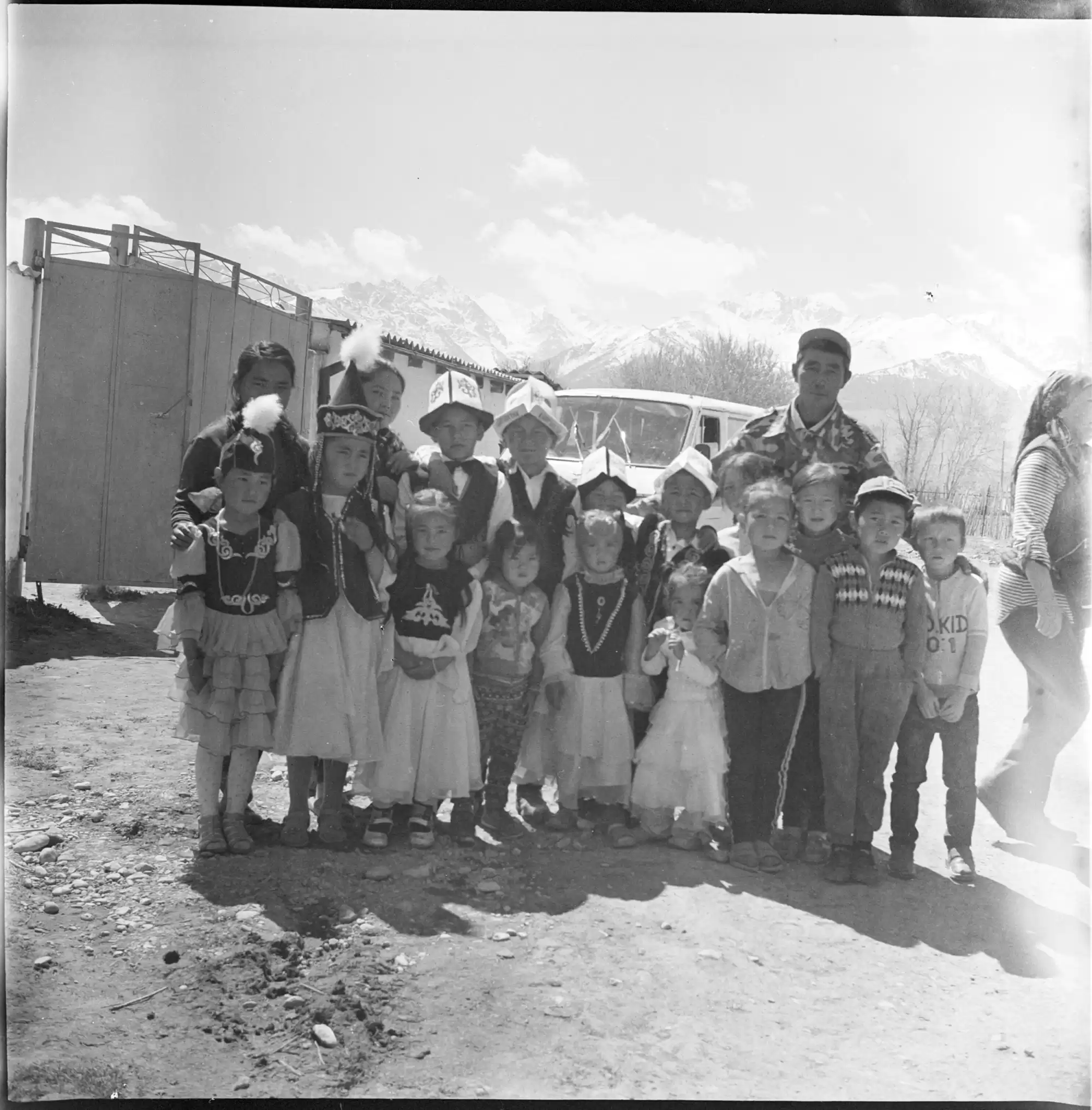
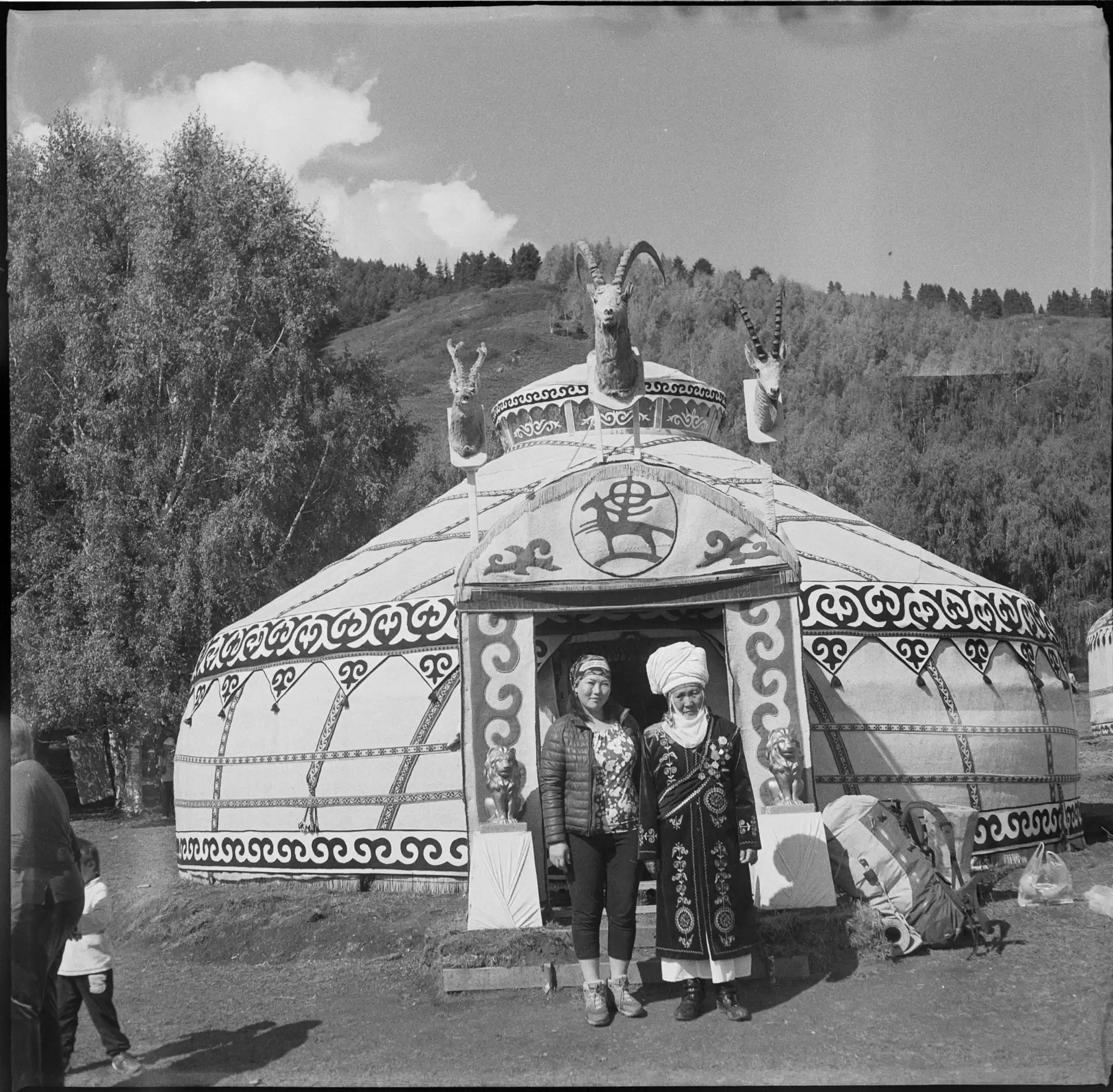
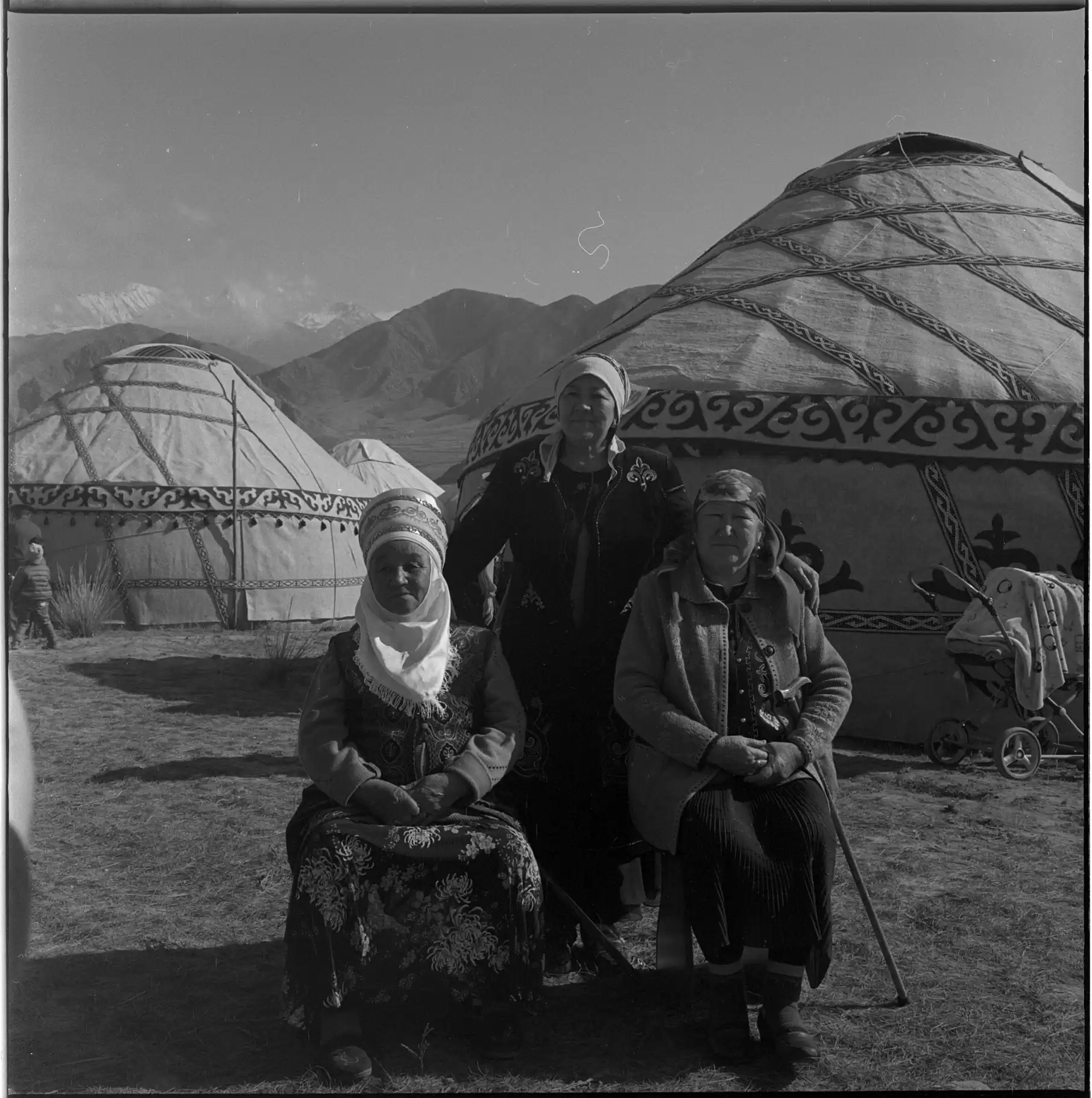
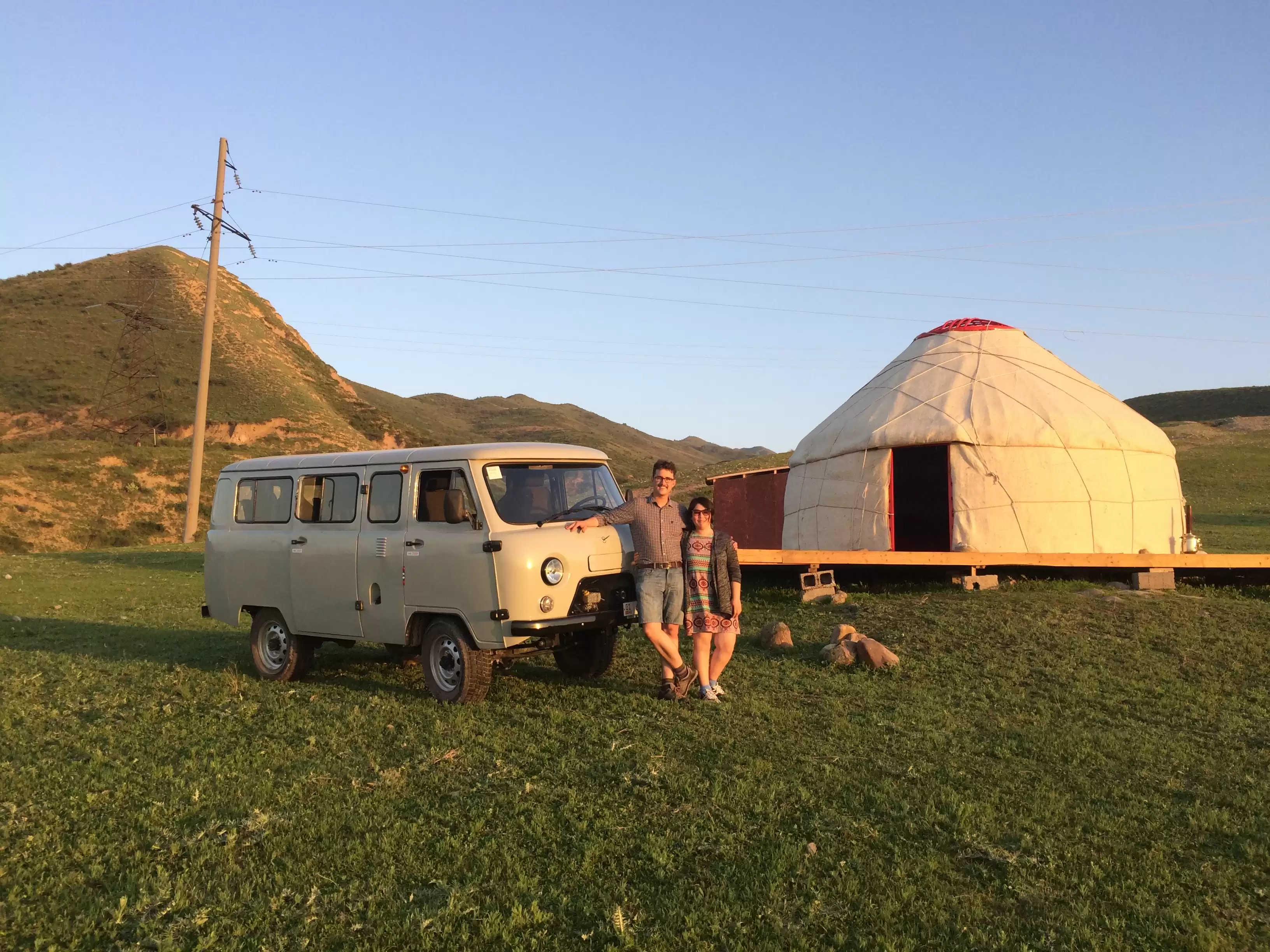
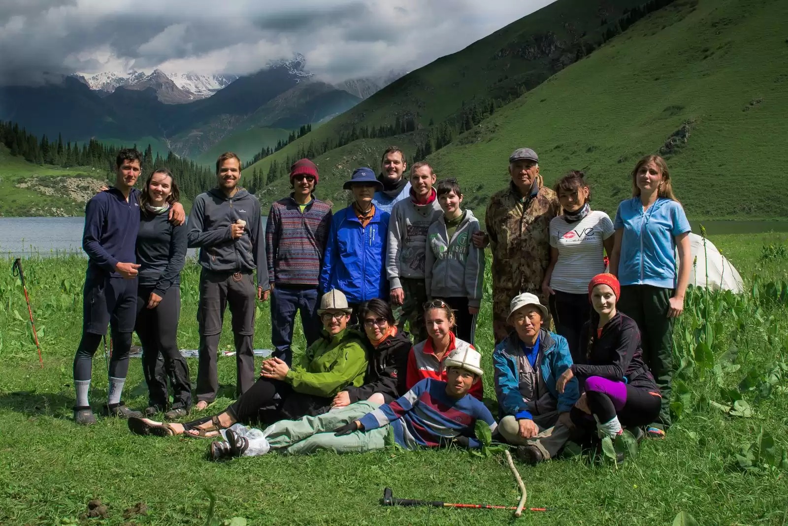
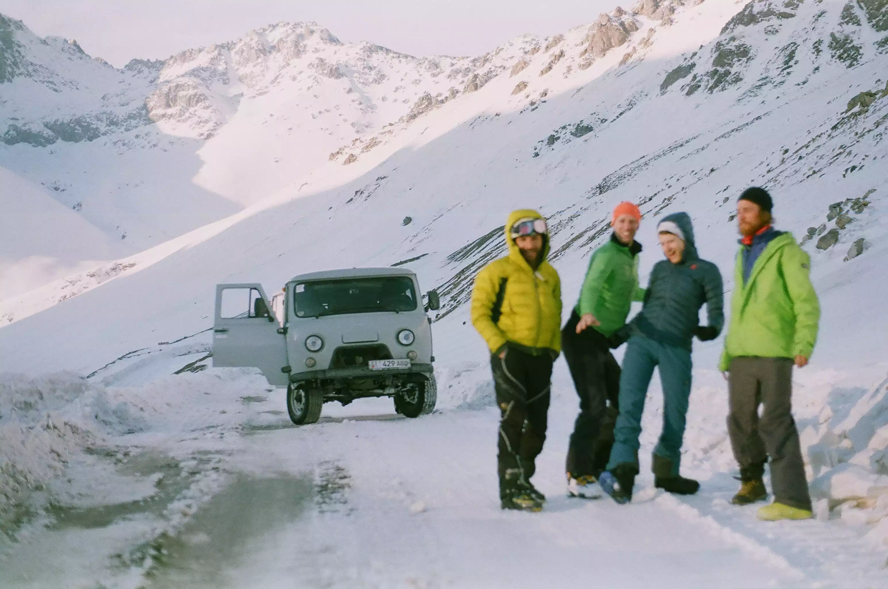
Self-Guided Treks in Kyrgyzstan Are you an independent traveler? Do you like the freedom of trekking at your own pase and to stop and take pictures or stop when you wish? I have created a list of great trekking spots here in Kyrgyzstan where you can hike independently. If you wish to hire a guide or to join an open group tour with a guide that knows the areas from first-hand account feel free to write me. I can set you up with local guides and drivers to show you the best spots here in Kyrgyzstan. If you would like to rent a 4x4 for your trip where you can do the hikes from the doors of your 4x4 let me know I can rent you a strong 4x4. I hope you like the list that I have created and tell your friends about Kyrgyzstan!
VIEW PROFILE →