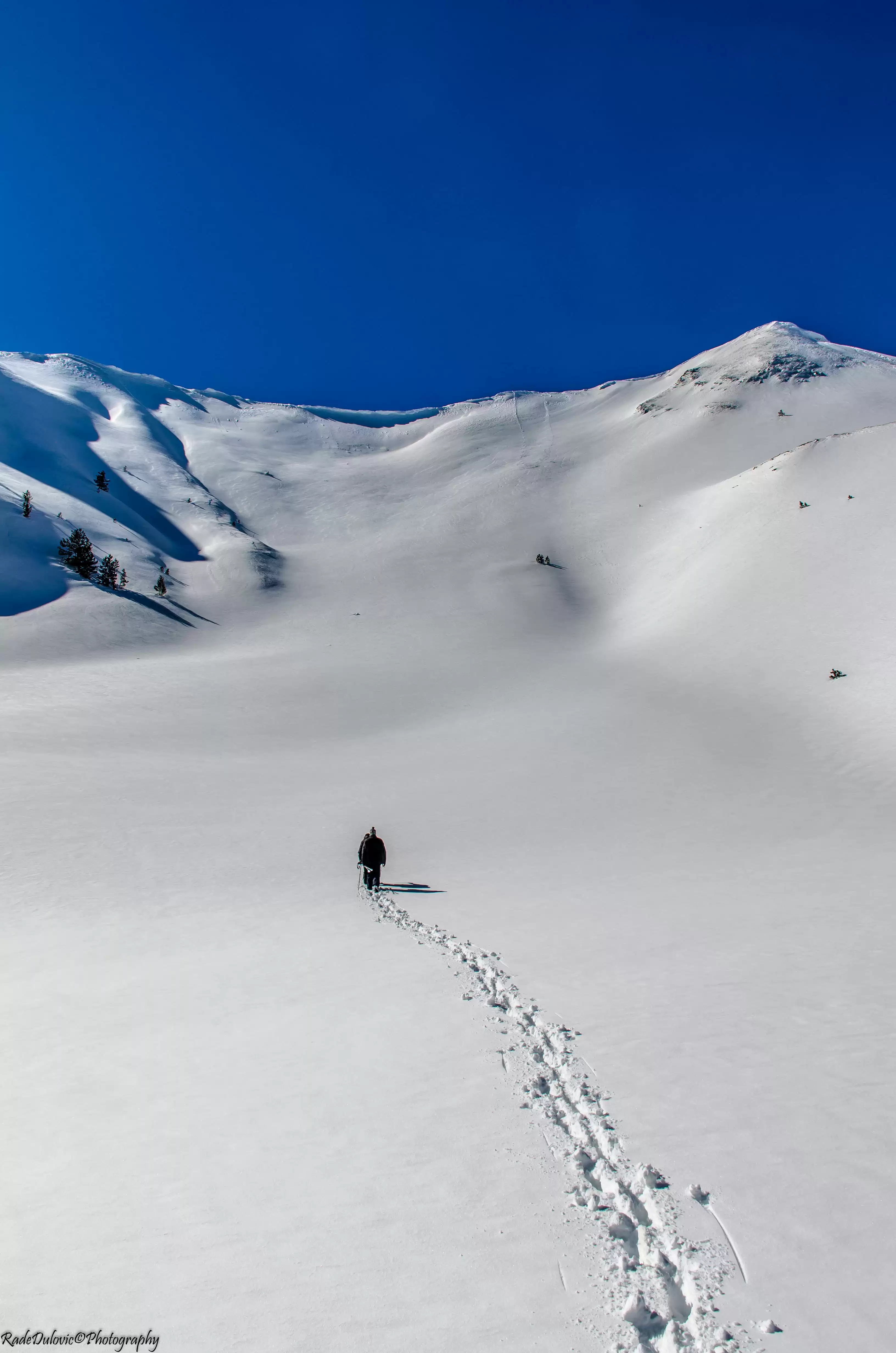
Prokletije Mountain Massif Hiking Tour
About this tour
Popadija, Talijanka, Volušnica
This is a hiking tour that offers an excellent view of the Prokletije massif. Prokletije are the largest mountain massif of the Balkans. They belong to the mountain range of Dinarides and they are the southernmost, highest and most impressive part. The Prokletije area is administratively divided between Albania, Serbia – Kosovo and Montenegro. The Prokletije massif extends between the Skadar Lake and the Zeta Valley in the southwest, the Drim River in the east, Metohija and Mokra Gora in Metohija in the northeast and the Komovi in the West. Because of its imposing appearance and high sharp peaks, the term “Balkan Alps” is often used for the Prokletije. Prokletije or in Albanian Bjeshket e Nemuna etymologically means “damn mountains” which symbolizes the inaccessibility of this space. The first hiking trails in the “forbidden mountains” occurred only 20 years ago, because the historical circumstances until that time in Prokletije were such that it was dangerous and prohibited every access to the border region with Albania.
Day-by-day itinerary
Day 1: Podgorica, Montenegro to Park Prokletije ( MNE ), Grebaje, Montenegro
Access from Gusinje is bypassed by asphalt road to the Grebaje Valley. The trail starts from the Eco katun in Grebaje, then passes next to Suljo’s fountain, the Mountain Center ‘’Karanfil’’ and continues in the forest until the exit on the plateau (Ćafa) Volušnice, where there is a beautiful spring fountain. From the plateau of Volušnica the path goes to the top of Popadija, through which the ridge leads to the top of the Talijanka and Maja e Can. A short break is planned and stay on each top of ten minutes. From the tops of the Italian and Maja e Can, one of the most beautiful views is provided on the peaks of Karanfil, Očnjak, Maja e Bojs, Fortita, Vojuša, Karaula… The whole track is well marked. The source of drinking water is at the beginning of the path in Grebaje (Suljo’s fountain) and below the top of Popadija.
What's included
Driving by car, minivan, van, minibus or tourist class bus from the place of accommodation/stay to the starting point of the hiking tour Driving by car, minivan, van, minibus or tourist class bus from the end point of the tour to the place of accommodation/stay Tourist guide (English language) Hiking sticks National Park Prokletije entrance fee Travel Insurance
Food and drink during the tour Other non-program costs Travel health insurance - optional Additional options (for extra fee): Tourist guide for a specific language Lunch Travel health insurance
What to know
TRIP FACTS Type of tour: Private tour Group size: Unlimited Duration: 5 - 6 hours depending on the readiness and breaks + time for transfer depending on the city of your accommodation Max. altitude: 2057 m Track length: 8 km Difficulty: Moderate Physical readiness: Medium - High Departures: from Podgorica, Cetinje, Budva, Kotor, Tivat, Bar, Ulcinj (from other cities price is on request) Availability: from June to November each year (depending on the weather conditions) Note: Price inclusive of taxes. Need to bring: Equipment: Comfortable shoes, sneakers or climbing shoes. Water. Food. Info: Possibility of changing tour according to your wishes and budget
Route & locations
Podgorica, Montenegro to Park Prokletije ( MNE ), Grebaje, Montenegro