Trip To Pamir Dushanbe To Dushanbe In 8 Days
About this tour
Pamirhighway
Wakhan Corridor
Border zone with Afghanistan
Culture and Tradition of Pamiri people
Pamir Plateau
Day-by-day itinerary
Day 1: Dushanbe, Tajikistan to Kalaikhum, Tajikistan
After breakfast we will head out on the famous Pamir Highway. This road is of vital importance for the country and ultimately it skirts the southern edge of the Tajik Pamir to finish in Osh. Today we follow the road as far as Kalaikhum, where we plan to spend the night
Day 2: Kalaikhum, Tajikistan to Khorog, Tajikistan
Making our way further east, we follow the Pamir Highway as it clings to the side of the Panj River, a tributary of the mighty Amu Darya (the famous River Oxus). By midafternoon we should have reached the town of Khorog. Khorog is the administrative centre of the Pamir region, dramatically set deep in the valley at the confluence of the Panj and Gunt rivers and boxed in by the mountain peaks.
Day 3: Khorog, Tajikistan to Langar petroglyphs, Ишкошим, Tajikistan
Today we will drive along Tajik-Afgan border to Langar village. Situated in in the heart of Asia, the Pamirs are a corner of sky-scraping, snow-capped, majestic mountains, transparent clear blue waters of rivers, wide valleys and bone-dry deserts. For hundreds of years, people have called these highest mountains of the world as “the Roof of the World”. Today you will understand why. The land of Pamirs is located at elevations from 3 500 to 4 200 meters above sea level. Pamirs is perhaps one the few areas in Central Asia where ancient ethnic and cultural peculiarities of the Pamir people exist. Over the years, communities were isolated from each other by impassable mountain ranges, and developed into separate enclaves with different dialects and sometimes distinct or different languages. Visit to the nearby village of Namadguti to visit the ruins Khahkha Fortress. This impressive structure rises from a naturally formed platform of rock and dates back to the Kushan era of the 3rd Century B.C. There are a number of these ancient fortresses in the area, and we also visit the ruins ofYamchun fort, perhaps the most impressive of them. We take a break at the Bibi Fatima hot springs
Day 4: Langar petroglyphs, Ишкошим, Tajikistan to Murghab, Tajikistan
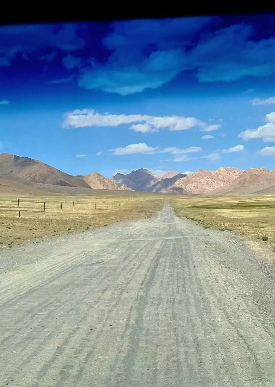
Leave behind the lush valleys of the Wakhan Valley and enter a landscape that is rocky, mostly barren but nevertheless dramatic. This is the Pamir Highway we have anticipated, with the route between Khorog and Osh completed in 1931 across a Tibetan-plateau style high altitude terrain. With a total of 240kms to cover today, we anticipate arriving in Murghab early evening.
Day 5: Murghab, Tajikistan to Karakul Lake, Tajikistan
Detour to karakul and back to Murgab. Our journey today takes us to Karakul. The road climbs up to the Ak Baital Pass (The White Mare Pass), which at 4655m stands as the highest pass in the former USSR. The stunning Karakul Lake is hidden deep in this expanse of arid landscape. It s a body of water thought to have been created millions of years ago by a meteorite and noted as one of the most geologically fascinating
Day 6: Murghab, Tajikistan to Khorog, Tajikistan
Today we will drive back via kutezak pass 4270 back to khorog. On the way de tour to Bulunkul village
Day 7: Khorog, Tajikistan to Kalaikhum, Tajikistan
From Khorog we will follow the same road following the border zone with Afghanistan to Kalai-Khumb
Day 8: Kalaikhum, Tajikistan to Tajikistan, Dushanbe
Today is final day of our trip we will drive via kulob back to Dushanbe
What's included
Transport Toyota 4×4and driver Fuel
Accomondation Food Tips for drivers
What to know
This tour can be customized. Please get in touch with me.
Route & locations
Dushanbe, Tajikistan to Kalaikhum, Tajikistan